North Battleford Airport
| North Battleford Airport | |||||||||||||||
|---|---|---|---|---|---|---|---|---|---|---|---|---|---|---|---|
 North Battleford Airport | |||||||||||||||
|
IATA: YQW – ICAO: CYQW – WMO: 71876 | |||||||||||||||
| Summary | |||||||||||||||
| Airport type | Public | ||||||||||||||
| Operator | City of North Battleford | ||||||||||||||
| Location | North Battleford, Saskatchewan | ||||||||||||||
| Time zone | CST (UTC−06:00) | ||||||||||||||
| Elevation AMSL | 1,799 ft / 548 m | ||||||||||||||
| Coordinates | 52°46′09″N 108°14′40″W / 52.76917°N 108.24444°WCoordinates: 52°46′09″N 108°14′40″W / 52.76917°N 108.24444°W | ||||||||||||||
| Map | |||||||||||||||
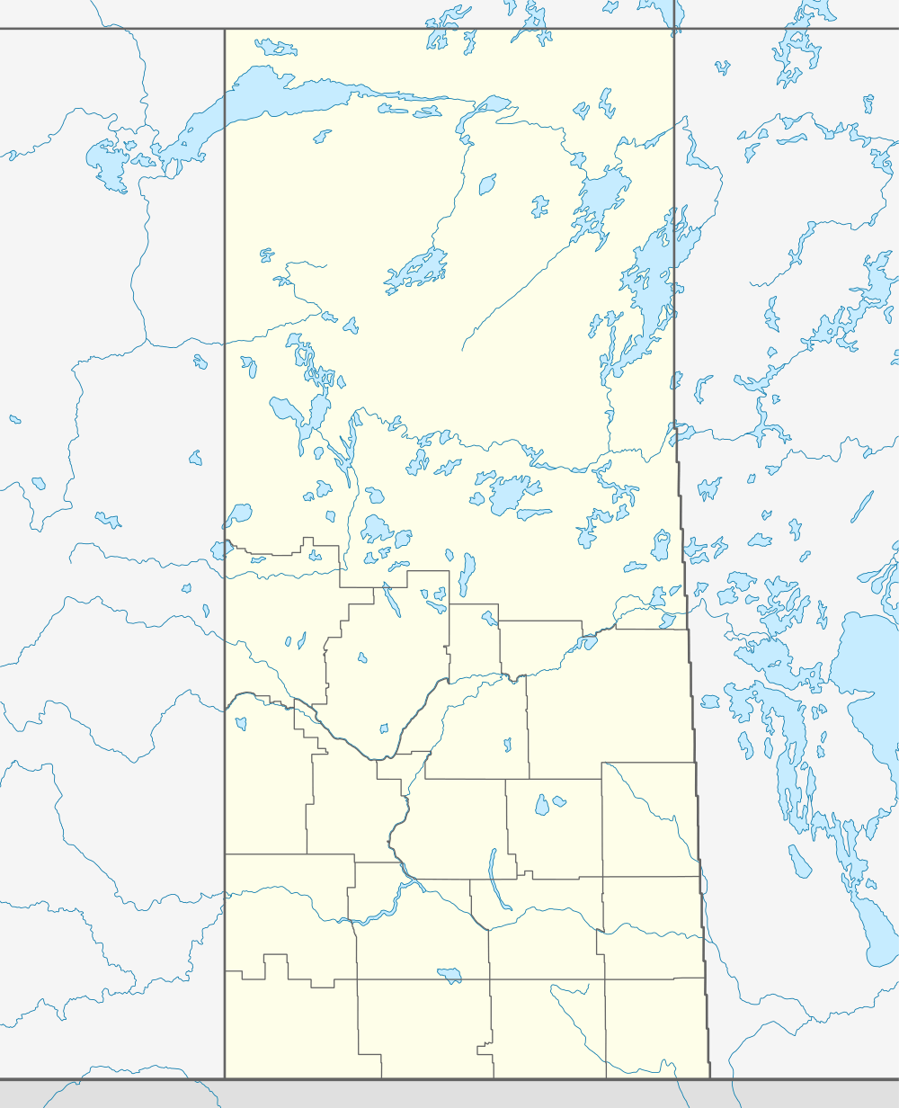 CYQW Location in Saskatchewan | |||||||||||||||
| Runways | |||||||||||||||
| |||||||||||||||
| Statistics (2006) | |||||||||||||||
| |||||||||||||||
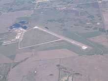
North Battleford Airport, (IATA: YQW, ICAO: CYQW), is located 1.5 nautical miles (2.8 km; 1.7 mi) east of North Battleford, Saskatchewan, Canada. The airport was previously known as North Battleford (Cameron McIntosh) and was named after Cameron Ross McIntosh, and before that the airport was the site of RCAF Station North Battleford. The airport was transferred from Transport Canada to the City of North Battleford on January 1, 1997.[4]
The North Battleford Gliding Centre, a Royal Canadian Air Cadet gliding centre, stores its gliders outside in permanent tie downs, and has office space in a trailer. The gliding centre conducts winch and air-tow operations in both the spring and the fall. The gliding centre currently operates two gliders, Number 2 (C-GCLS) and Number 10 (C-GRFQ); one winch, and one Bellanca Scout Towplane #5 (C-GBAZ).
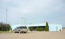
In April 2010 a contract was awarded for renovations to the air terminal building.[5]
See also
References
- ↑ Canada Flight Supplement. Effective 0901Z 24 July 2014 to 0901Z 18 September 2014
- ↑ Synoptic/Metstat Station Information
- ↑ Total aircraft movements by class of operation
- ↑ City transportation infrastructure
- ↑
External links
- Page about this airport on COPA's Places to Fly airport directory
- Past three hours METARs, SPECI and current TAFs for North Battleford Airport from Nav Canada as available.
| ||||||||||||||||||||||||||||||