Nerviano
| Nerviano | ||
|---|---|---|
| Comune | ||
| Comune di Nerviano | ||
 | ||
| ||
 Nerviano Location of Nerviano in Italy | ||
| Coordinates: 45°33′N 8°59′E / 45.550°N 8.983°ECoordinates: 45°33′N 8°59′E / 45.550°N 8.983°E | ||
| Country | Italy | |
| Region | Lombardy | |
| Province | Milan (MI) | |
| Frazioni | Cantone, Costa San Lorenzo, Garbatola, Sant'Ilario, Villanova | |
| Government | ||
| • Mayor | Enrico Cozzi | |
| Area | ||
| • Total | 13.5 km2 (5.2 sq mi) | |
| Population (2008)[1] | ||
| • Total | 17,409 | |
| • Density | 1,300/km2 (3,300/sq mi) | |
| Demonym | Nervianesi | |
| Time zone | CET (UTC+1) | |
| • Summer (DST) | CEST (UTC+2) | |
| Postal code | 20014 | |
| Dialing code | 0331 | |
| Patron saint | San Fermo | |
| Website | Official website | |

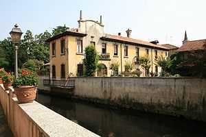
Nerviano is a comune (municipality) in the northwestern part of the City of Milan in the Italian region Lombardy, located about 15 kilometres (9 mi) northwest of downtown Milan. Its territory is crossed by the Olona river and by the Villoresi Canal.