Negley, Ohio
| Negley, Ohio | |
|---|---|
| Census-designated place | |
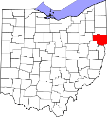
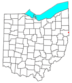 Location of Negley, Ohio | |
| Coordinates: 40°47′24″N 80°32′20″W / 40.79000°N 80.53889°WCoordinates: 40°47′24″N 80°32′20″W / 40.79000°N 80.53889°W | |
| Country | United States |
| State | Ohio |
| County | Columbiana |
| Township | Middleton |
| Area | |
| • Total | 0.9 sq mi (2.3 km2) |
| • Land | 0.9 sq mi (2.3 km2) |
| • Water | 0.9 sq mi (2.3 km2) |
| Elevation[1] | 1,115 ft (340 m) |
| Population (2010) | |
| • Total | 281 |
| • Density | 315/sq mi (121.7/km2) |
| Time zone | Eastern (EST) (UTC-5) |
| • Summer (DST) | EDT (UTC-4) |
| ZIP code | 44441 |
| Area code(s) | 330 |
| FIPS code | 39-53802 |
| GNIS Feature ID | 1065100 |
Negley is an unincorporated community and census-designated place (CDP) in northeastern Middleton Township, Columbiana County, Ohio, United States. The population was 281 at the 2010 census.[2] Although it is unincorporated, it has a post office, with the ZIP code of 44441.[3] It lies along State Route 154.
Negley is the site of the Youngstown and Southern Railway shop that is now used by the Youngstown and Southeastern Railroad.
Notable people
- Ammon Hennacy, Christian anarchist
- Derek Wolfe, NFL defensive end for the Denver Broncos
References
- ↑ "US Board on Geographic Names". United States Geological Survey. 2007-10-25. Retrieved 2008-01-31.
- ↑ "Geographic Identifiers: 2010 Demographic Profile Data (G001): Negley CDP, Ohio". U.S. Census Bureau, American Factfinder. Retrieved January 26, 2015.
- ↑ Zip Code Lookup
| |||||||||||||||||||||||||||||||||