Nandaly, Victoria
| Nandaly Victoria | |||||||||||||
|---|---|---|---|---|---|---|---|---|---|---|---|---|---|
 Nandaly | |||||||||||||
| Coordinates | 35°18′0″S 142°42′0″E / 35.30000°S 142.70000°ECoordinates: 35°18′0″S 142°42′0″E / 35.30000°S 142.70000°E | ||||||||||||
| Population | 230 (2011 census)[1] | ||||||||||||
| Postcode(s) | 3533 | ||||||||||||
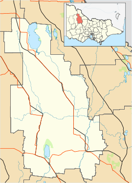
| Location |
| ||||||||||||
| LGA(s) | Shire of Buloke | ||||||||||||
| State electorate(s) | Mildura | ||||||||||||
| Federal Division(s) | Mallee | ||||||||||||
| |||||||||||||
Nandaly is a small town in the Mallee region of Victoria, Australia. The town is located 388 kilometres (241 mi) north-west of the state capital, Melbourne on the Calder Highway in the Shire of Buloke local government area. At the 2011 census, Nandaly and the surrounding area had a population of 230.[1]
The Post Office opened on 2 November 1914 when a community developed on the arrival of the railway.[2]
With its neighbouring township Sea Lake, Nandaly has a football team (Sea Lake-Nandaly) competing in the Mallee Football League.
Golfers play at the course of the Nandaly Golf Club on Messinnes Street.[3]
References
- ↑ 1.0 1.1 Australian Bureau of Statistics (31 October 2012). "Nandaly (State Suburb)". 2011 Census QuickStats. Retrieved 6 December 2014.
- ↑ Premier Postal History, Post Office List, retrieved 2008-04-11
- ↑ Golf Select, Nandaly, retrieved 2009-05-11
| ||||||