Nanda Ghunti
| Nanda Ghunti | |
|---|---|
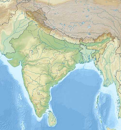 Nanda Ghunti Location in northern India | |
| Elevation | 6,309 m (20,699 ft) |
| Listing | List of mountains in India |
| Location | |
| Location | Garhwal, Uttarakhand, India |
| Range | Himalayas |
| Coordinates | 30°20′58″N 79°42′58″E / 30.34944°N 79.71611°ECoordinates: 30°20′58″N 79°42′58″E / 30.34944°N 79.71611°E |
| Climbing | |
| First ascent | 1947 |
Nanda Ghunti is a 6,309-metre-high (20,699 ft) mountain in Garhwal, India. It lies on the outer rim of the Nanda Devi Sanctuary.
The mountain was first surveyed by T. G. Longstaff in 1907. Eric Shipton surveyed it from the west in 1931. The first serious attempt to reach the summit was made by B. R. Goodfellow and J. Buzzard (UK) in 1944. Finally, a Swiss team under André Roch made the first ascent in 1947 via the east ridge.
The first Indian ascent was made in 1960. This expedition was organized by the Himalayan Institute (later named the Himalayan Association) of Kolkata under the leadership of Sukumar Roy and patronised by Ashok Sarkar of the Anandabazar Patrika. The approach was made via the east ridge, and the summit was reached on October 22, 1960. Summiters were Sukumar Roy and Nima Tashi. Other team members included Dilip Banerjee, Nimai Bose, Dhruba Majumder, Bishwadeb, and Pemba Norbu.
Subsequent successful expeditions were conducted in 1977 and 1980.
Travellers get a clear view of Nanda Ghunti and Trishul en route to Roopkund in the Himalayas.[1]
References
- ↑ Himalayan Association Journal, Vol-VII, pg. 44