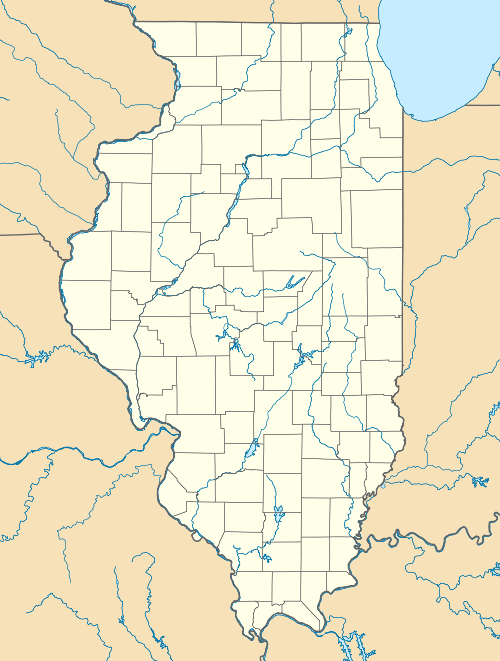
Mulkeytown, Illinois
| Mulkeytown, Illinois | |
|---|---|
| Census-designated place | |
 Mulkeytown, Illinois | |
| Coordinates: 37°58′15″N 89°06′41″W / 37.97083°N 89.11139°WCoordinates: 37°58′15″N 89°06′41″W / 37.97083°N 89.11139°W | |
| Country | United States |
| State | Illinois |
| County | Franklin |
| Area | |
| • Total | 0.276 sq mi (0.71 km2) |
| • Land | 0.275 sq mi (0.71 km2) |
| • Water | 0.001 sq mi (0.003 km2) |
| Elevation | 446 ft (136 m) |
| Population (2010) | |
| • Total | 175 |
| • Density | 630/sq mi (240/km2) |
| Time zone | Central (CST) (UTC-6) |
| • Summer (DST) | CDT (UTC-5) |
| ZIP code | 62865 |
| Area code(s) | 618 |
| GNIS feature ID | 414225[1] |
Mulkeytown is an unincorporated census-designated place in Franklin County, Illinois, United States. Mulkeytown is located on Illinois Route 184 3 miles (4.8 km) west of Christopher. Mulkeytown has a post office with ZIP code 62865.[2] As of the 2010 census, its population was 175.[3]
References
- ↑ "US Board on Geographic Names". United States Geological Survey. 2007-10-25. Retrieved 2008-01-31.
- ↑ ZIP Code Lookup
- ↑ "American FactFinder". U.S. Census Bureau. Retrieved 15 March 2011.
| |||||||||||||||||||||||||||||