Mudgegonga, Victoria
| Mudgegonga Victoria | |
|---|---|
|
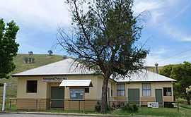
Public hall | |
 Mudgegonga | |
| Coordinates | 36°30′S 146°50′E / 36.500°S 146.833°ECoordinates: 36°30′S 146°50′E / 36.500°S 146.833°E |
| Population | 257 (2011 census)[1] |
| Postcode(s) | 3737 |
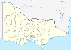
| Location |
|
| LGA(s) | |
| State electorate(s) | |
| Federal Division(s) | Indi |
Mudgegonga is a locality in northeast Victoria, Australia. It is 316 kilometres (196 mi) northeast of the state capital, Melbourne. At the 2011 census, Mudgegonga had a population of 257.[1]
The localilty was affected by the Black Saturday bushfires, with two deaths in the region.[2]
References
| Wikimedia Commons has media related to Mudgegonga, Victoria. |
- ↑ 1.0 1.1 Australian Bureau of Statistics (31 October 2012). "Mudgegonga (State Suburb)". 2011 Census QuickStats. Retrieved 2 December 2014.
- ↑ "Victoria under siege as fires rage across state". Herald Sun. 8 February 2009. Retrieved 2009-02-08.