Mount Saramati
| Saramati | |
|---|---|
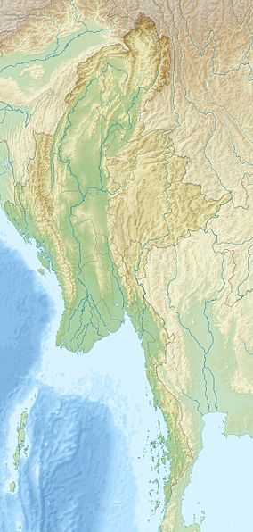 Saramati Location in Burma, on the border with India | |
| Elevation | 3,826 m (12,552 ft)[1] |
| Prominence |
2,885 m (9,465 ft)[1] Ranked 113th |
| Listing | Ultra |
| Location | |
| Location | Burma–India border |
| Range | Saramati Range[2] |
| Coordinates | 25°44′24″N 95°2′15″E / 25.74000°N 95.03750°ECoordinates: 25°44′24″N 95°2′15″E / 25.74000°N 95.03750°E[1] |
| Climbing | |
| First ascent | unknown |
Saramati (Pron:/ˌsæɹəˈmɑːti/) is a peak rising above the surrounding peaks at the mountainous border of Nagaland state, India and the Sagaing Region, Burma. It is located near Tuensang town, Tuensang district and Thanamir Village in the Kiphire district of Nagaland.
With a height of 3,826 m and a prominence of 2,885 m, Saramati is one of the ultra prominent peaks of Southeast Asia.[3]
See also
- List of mountains in Burma
- List of Ultras of Southeast Asia
References
- ↑ 1.0 1.1 1.2 "Burma and Eastern India - 19 Mountain Summits with Prominence of 1,500 meters or greater". Peaklist.org. Retrieved 2011-12-29.
- ↑ The story behind apple revolution in Nagaland
- ↑ "Saramati, Myanmar/India". Peakbagger.com. Retrieved 2014-08-29.