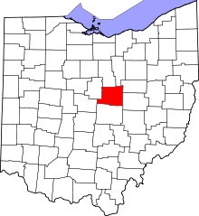
Mount Liberty, Ohio
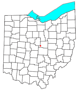
Mount Liberty is an unincorporated community on the border between the Milford and Liberty Townships of Knox County, Ohio, United States. Although it is unincorporated, it has a post office, with the ZIP code of 43048.[1] It lies along the concurrent U.S. Route 36 and State Route 3.
History
Mount Liberty was originally one of three towns within Knox County that were considered for the location of the county seat. It was also a stop for the Cleveland Akron, and Columbus Railroad.[2] President McKinley was supposed to have made a whistle-stop campaign speech here in 1900.
Transportation
US-36 and Ohio State Route 3 both run through the town (same road). This is one of the most dangerous sections of Ohio State Route 3, and numerous accidents occur every year on the half mile stretch of highway which runs through the town. This is because there are sharp curves, steep hills, and blind intersections at each side of town, and the west entrance to town also has a pond that is frequently visited by a driver who has strayed from the road. There is also a blind intersection in the middle of town, and the houses are built right up to the road in certain spots.
The most notable accident happened on Halloween day 1996, when a semi truck driver missed the curve on the west side of town while heading eastbound, causing him to run into a two story house. The family had gone to a nearby town to go trick-or-treating, and there was only one adult in the house at the time of the accident. Both the man in the house and the driver of the truck were unharmed. The driver was taken to Knox Community Hospital as a precaution. The house was demolished. Police reports and an interview with the driver revealed that he was going 45mph having just entered a 40mph zone, and he was adjusting his radio.
Mount Liberty has recently been tied into the Heart of Ohio Bike Trail, and it is paved through the town. It runs on the old Cleveland, Akron and Columbus Railroad bed, leading to Mount Vernon, Ohio and Westerville, Ohio.
References
| |||||||||||||||||||||||||||||||||
Coordinates: 40°20′48″N 82°37′49″W / 40.34667°N 82.63028°W