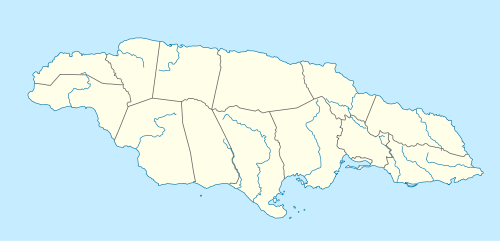
Morant Point
| Morant Point | |
|---|---|
| Easternmost extremity | |
|
Morant Point Lighthouse looking north north east. | |
 Morant Point | |
| Coordinates: 17°54′54″N 76°11′17″W / 17.9149202°N 76.1881685°WCoordinates: 17°54′54″N 76°11′17″W / 17.9149202°N 76.1881685°W | |
| Country | Jamaica |
| Parish | St Thomas |
| Time zone | EST (UTC-5) |
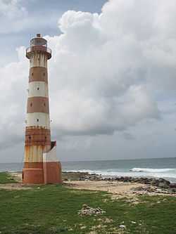
Morant Point in the Parish of St. Thomas is the easternmost point of mainland Jamaica and the site of Morant Point Lighthouse.
History
.jpg)
1572 map of Jamaica by Tomaso Porcacchi.
It is called Cape Morante on several early maps including one dated 1572.[1] It has had the name Morant Point since at least 1671.[2]
See also
External links
References
- ↑ Map of Jamaica, Tomaso Porcacchi Castilione, 1572.
- ↑ Map of Jamaica, John Ogilby, 1671.