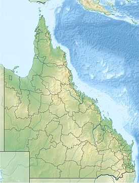
Mooroobool, Queensland
| Mooroobool Queensland | |
|---|---|
 Mooroobool | |
| Coordinates | 16°56′06″S 145°43′52″E / 16.935°S 145.731°ECoordinates: 16°56′06″S 145°43′52″E / 16.935°S 145.731°E |
| Population | 6,618 (2011 census) |
| Region | Cairns Region |
Mooroobool is a suburb of the Cairns Region, Queensland, Australia.[1] It is located 5.4 kilometres (3.4 mi) west of the central business district of Cairns. At the 2006 census, Mooroobool had a population of 6,618.[2]
Geography
Mooroobool has a mixture of residential dwellings which are mainly houses and commercial properties. Mooroobool has a Campbell’s Super IGA, a police beat and a Westpac bank. Nearby suburbs are Earlville, Kanimbla and Brinsmead.
History
Kingsford Street is named after Richard Ash Kingsford, who was mayor of Cairns from 1885-1886 and in 1889.[3]
References
- ↑ "Placename (entry Number)". Queensland Place Names. Queensland Government. Retrieved 2 April 2014.
- ↑ Australian Bureau of Statistics (25 October 2007). "Mooroobool (Cairns City) (State Suburb)". 2006 Census QuickStats. Retrieved 13 June 2011.
- ↑ "Mayors of Cairns 1885 to Present" (PDF). Cairns Heritage Page. Cairns Regional Council. Retrieved 2 April 2014.