Montignac, Dordogne
| Montignac | ||
|---|---|---|
|
Chateau of Coulonges | ||
| ||
 Montignac | ||
|
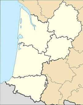
Location within Aquitaine region  Montignac | ||
| Coordinates: 45°04′03″N 1°09′44″E / 45.0675°N 1.1622°ECoordinates: 45°04′03″N 1°09′44″E / 45.0675°N 1.1622°E | ||
| Country | France | |
| Region | Aquitaine | |
| Department | Dordogne | |
| Arrondissement | Sarlat-la-Canéda | |
| Canton | Montignac | |
| Intercommunality | Vallée de la Vézère | |
| Government | ||
| • Mayor (2008–2014) | Laurent Mathieu | |
| Area1 | 37.15 km2 (14.34 sq mi) | |
| Population (2008)2 | 2,852 | |
| • Density | 77/km2 (200/sq mi) | |
| INSEE/Postal code | 24291 / 24290 | |
| Elevation |
73–273 m (240–896 ft) (avg. 77 m or 253 ft) | |
|
1 French Land Register data, which excludes lakes, ponds, glaciers > 1 km² (0.386 sq mi or 247 acres) and river estuaries. 2 Population without double counting: residents of multiple communes (e.g., students and military personnel) only counted once. | ||
Montignac (Occitan: Montinhac) is a commune in the Dordogne department in Aquitaine in southwestern France. It is situated on the Vézère river.
Population
| Historical population | ||
|---|---|---|
| Year | Pop. | ±% |
| 1962 | 2,809 | — |
| 1968 | 2,949 | +5.0% |
| 1975 | 3,081 | +4.5% |
| 1982 | 3,135 | +1.8% |
| 1990 | 2,938 | −6.3% |
| 1999 | 3,030 | +3.1% |
| 2008 | 2,852 | −5.9% |
Sights
It has a beautiful old bridge, from which fireworks are launched on holidays such as Bastille Day and during the summer festival of world folklore and dance.
Its main attraction is the Lascaux Cave.
See also
References
| Wikimedia Commons has media related to Montignac (Dordogne). |
| Wikivoyage has a travel guide for Montignac (Dordogne). |
_Coulonges_angle_sud-ouest.jpg)
.svg.png)