Mont-Louis
| Mont-Louis | ||
|---|---|---|
|
An aerial view of Mont-Louis | ||
| ||
 Mont-Louis | ||
|
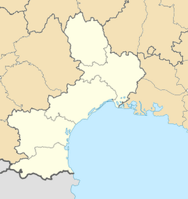
Location within Languedoc-Roussillon region  Mont-Louis | ||
| Coordinates: 42°30′33″N 2°07′15″E / 42.5092°N 2.1208°ECoordinates: 42°30′33″N 2°07′15″E / 42.5092°N 2.1208°E | ||
| Country | France | |
| Region | Languedoc-Roussillon | |
| Department | Pyrénées-Orientales | |
| Arrondissement | Prades | |
| Canton | Mont-Louis | |
| Government | ||
| • Mayor (2001–2008) | Christian Pecout | |
| Area1 | 0.39 km2 (0.15 sq mi) | |
| Population (2006)2 | 297 | |
| • Density | 760/km2 (2,000/sq mi) | |
| INSEE/Postal code | 66117 / 66210 | |
| Elevation |
1,516–1,608 m (4,974–5,276 ft) (avg. 1,600 m or 5,200 ft) | |
|
1 French Land Register data, which excludes lakes, ponds, glaciers > 1 km² (0.386 sq mi or 247 acres) and river estuaries. 2 Population without double counting: residents of multiple communes (e.g., students and military personnel) only counted once. | ||
Mont-Louis (Catalan: Montlluís or el Vilar d'Ovansa) is a commune in the Pyrénées-Orientales department in southern France.
Geography
Mont-Louis is located in the canton of Mont-Louis and in the arrondissement of Prades.

Map of Mont-Louis and its surrounding communes
Sites of interest
Solar furnace of Mont-Louis
In 2008, the citadel and the city walls of Mont-Louis were listed as a UNESCO World Heritage Sites, as part of the "Fortifications of Vauban" group.
The Mont-Louis Solar Furnace, is the world's first solar furnace, built in 1949, by engineer Felix Trombe. It is open to visit for practical education on solar energy uses and technologies.
See also
References
External links
| Wikimedia Commons has media related to Mont-Louis. |

