Monpezat
| Monpezat | |
|---|---|
 | |
 Monpezat | |
|
Location within Aquitaine region  Monpezat | |
| Coordinates: 43°30′11″N 0°03′59″W / 43.5031°N 0.0664°WCoordinates: 43°30′11″N 0°03′59″W / 43.5031°N 0.0664°W | |
| Country | France |
| Region | Aquitaine |
| Department | Pyrénées-Atlantiques |
| Arrondissement | Pau |
| Canton | Lembeye |
| Intercommunality | Lembeye en Vic-Bilh |
| Government | |
| • Mayor (2001–2008) | Annick Carpentier Champroux |
| Area1 | 3 km2 (1 sq mi) |
| Population (2006)2 | 90 |
| • Density | 30/km2 (78/sq mi) |
| INSEE/Postal code | 64394 / 64350 |
| Elevation |
168–262 m (551–860 ft) (avg. 225 m or 738 ft) |
|
1 French Land Register data, which excludes lakes, ponds, glaciers > 1 km² (0.386 sq mi or 247 acres) and river estuaries. 2 Population without double counting: residents of multiple communes (e.g., students and military personnel) only counted once. | |
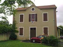
Monpezat is a commune in the Pyrénées-Atlantiques department in south-western France.
The Labésiau brook crosses the commune, on its way to the River Gabas.
See also
- French wine
- Communes of the Pyrénées-Atlantiques department
- Montpezat
- House of Laborde de Monpezat
References
External links
| Wikimedia Commons has media related to Monpezat. |