Mong Yang Township
| Mong Yang | |
|---|---|
| Township | |
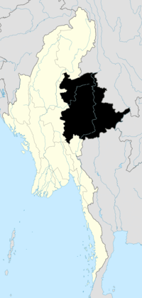
 Mong Yang Location in Burma | |
| Coordinates: 21°50′40″N 99°40′45″E / 21.84444°N 99.67917°ECoordinates: 21°50′40″N 99°40′45″E / 21.84444°N 99.67917°E | |
| Country |
|
| State | Shan State |
| District | Kengtong District |
| Elevation[1] | 944 m (3,097 ft) |
| Time zone | MST (UTC+6.30) |
Mong Yang Township is a township of Kengtong District (Chiang Tung District) in the Shan State of Burma. The principal town is Mong Yang, also known as Möngyang (Mohnyin). Mong Pawk is part of it but is under UWSA control.
References
- ↑ GoogleEarth
| ||||||||||