Mokau

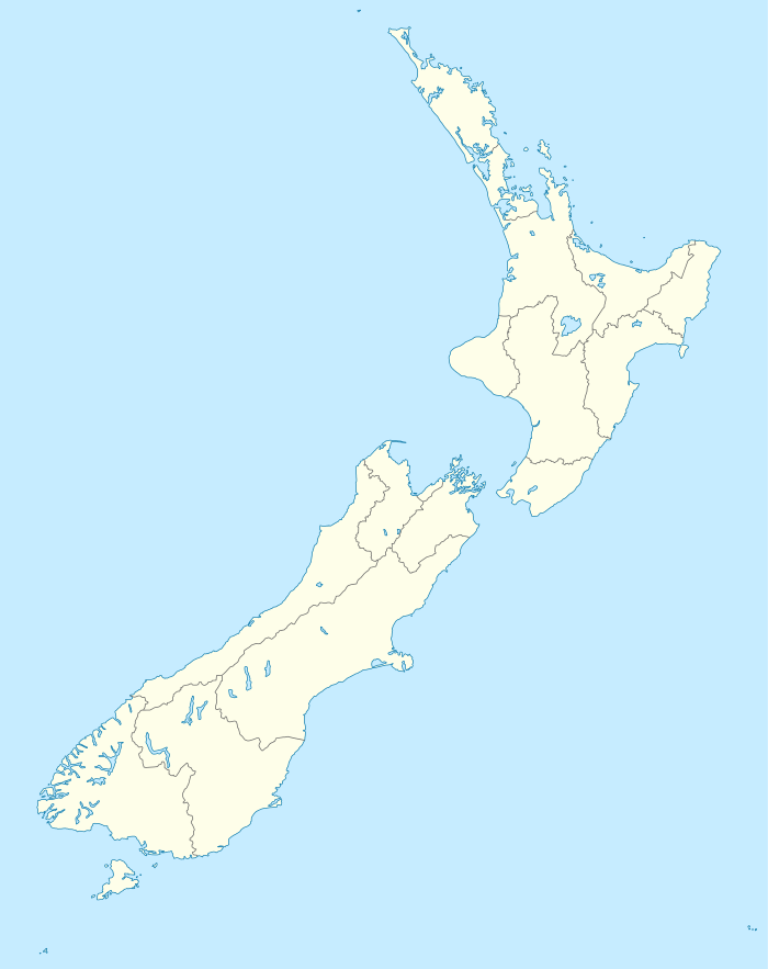
Mokau is a small town on the west coast of New Zealand's North Island, located at the mouth of the Mokau River on the North Taranaki Bight. Mokau is in the Waitomo District and Waikato Region local government areas, just north of the boundary with the New Plymouth District and the Taranaki Region. Prior to 1989, the town was classed as being in Taranaki, and there is still a feeling that the community of interest is most associated with New Plymouth, 90 km to the southwest.[1] State Highway 3 passes through the town on its route from Te Kuiti to Waitara and, eventually, New Plymouth.
Mokau has a permanent population of about 400, but this swells to several thousand during the summer. It is in the Mahoenui census unit, which had 480 people in 183 households, a median age of 39.5 and median income of $20,700 in 2006.[2] Mokau is a popular location for whitebaiting and other fishing including for kahawai (mainly found at the river mouth) and snapper (which are found right along the coast in several spots).
Mokau also has a couple of outstanding surf breaks that, in the right conditions, can produce waves of up to 6 ft (1.8m).
References
- ↑ McKinlay Douglas Ltd (October 2006). "Local government structure and efficiency" (PDF). p. 79.
- ↑ http://apps.nowwhere.com.au/StatsNZ/Maps/default.aspx
Further reading
General historical works
- The best of the west: a heritage trail offering a unique experience of the King Country coast, Te Kuiti, [N.Z.]: Te Kuiti Visitor Information Centre, 1996
- Native Affairs Committee, NZ Parliament House of Representatives (1911), Mokau-Mohakatino Block [= AJHR 1.3A], Wellington, [N.Z.]: Government Print
Business history
- Barr, H.R. (1979), Mokau mines: speculation in nineteenth century Taranaki (M.A., university?]
- Mokau coal fired power station : fresh water supply cost study : prepared for Electricity Division, Ministry of Energy, August 1986, Wellington, [N.Z.]: Beca, Carter, Hollings and Ferner, 1986
|first1=missing|last1=in Authors list (help) - Berthold, Martin (1999), Appendix one, fleet list : Bayly, Ogle & Co., Waitara : Mokau Steamship Co.: A.W. Ogle, manager, Sanson, [N.Z.]: M. Berthold, ISBN 0-473-05891-X
- Manhire, D.A.J. (1983), An approach to management of the Mokau coal resource (Thesis (M.Sc., University of Canterbury [Lincoln College])
- Prospectus of the Mokau Coal Company Limited, New Plymouth, [N.Z.]: Mokau Coal, 1929
|first1=missing|last1=in Authors list (help) - Abridged prospectus of Mokau Collieries Limited, New Plymouth, [N.Z.]: Mokau Collieries, 1930
|first1=missing|last1=in Authors list (help) - Rules and regulations of the Port of Mokau, Waitara, [N.Z.]: Waitara Evening Mail, 1913
|first1=missing|last1=in Authors list (help) - Phelps, D.J.; Cave, M.P.; Doole, M.H. (1988), Geology and coal resources of the Mokau Coalfield, New Zealand, Wellington, [N.Z.]: Technical Management Unit, Resource Management and Mining, Ministry of Energy
- Pickford, A.J.; Crawford, J.D. (1986), Mokau coal fired power station optimum ash content: ash and dust transport and disposal study / prepared for Electricity Division of the New Zealand Ministry of Energy, Wellington, [N.Z.]: Investigations Section, Power Directorate, Ministry of Works and Development
- Robson, P.A. (1983), Mokau coalfield energy development, Wellington, [N.Z.]: Mines Division, Ministry of Energy
Churches
Anglican
- Parochial District of Saint Peter-by-the-Sea, Mokau : "come unto me", Mokau, [N.Z.]: Parochial District of Saint Peter-by-the-Sea, c. 1956
Methodist
- Hammer, G.E.J. (1990), Cort Henry Schnackenberg : pioneer missionary, 1812-1880 (Thesis (M.Litt., University of Auckland)
- Hammer, G.E.J. (1991), A pioneer missionary: Raglan to Mokau, 1844-1880: Cort Henry Schnackenberg, Auckland, [N.Z.]: Wesley Historical Society (New Zealand)
Geology
- Duff, Robert Oliver (1993), Uplifted marine terraces and some other aspects of late quaternary geology in northern Taranaki (M.Sc., University of Otago)
- Henderson, John; Ongley, Montague (1923), The geology of the Mokau Subdivision, with an account of adjoining areas, and of the Te Kuiti District, Pirongia and Taranaki Divisions, Wellington, [N.Z.]: Geological Survey Branch, Department of Mines
- Manhire, D.A.J. (1983), An approach to management of the Mokau coal resource (M.Sc., University of Canterbury [Lincoln College])
- Phelps, D.J.; Cave, M.P.; Doole, M.H. (1988), Geology and coal resources of the Mokau Coalfield, New Zealand, Wellington, [N.Z.]: Technical Management Unit, Resource Management and Mining, Ministry of Energy
Maps
- Great Britain Hydrographic Office et al. (1857), Manukau Harbour to Cape Egmont: surveyed by B. Drury ... ; from New Plymouth to the southward by J.L. Stokes ... 1849-51, London, [England]: Hydrographic Office of the Admiralty
NOTE: Scale [ca. 1:295,000]. Large corrections to 1900, small corrections to 1929, ms. corrections to 1931. Ms. additions show [Mokau] river and smooth water limits, and extended river and partially smooth water limits.
- Great Britain Hydrographic Office et al. (1893), New Zealand North Island. Sheet VI, Manukau Harbour to Cape Egmont: surveyed by B. Drury and the officers of H.M.S. Pandora ; from New Plymouth to the Southward by J.L. Stokes and the officers of H.M.S. Acheron, 1849-51 ; engraved by J.& C. Walker, London, [England]: Hydrographic Office of the Admiralty
NOTE: Scale not given. Relief shown by hachures. Depth shown by soundings in fathoms. Originally published: London : Admiralty, 1857. "Reduced from the original drawings by Edward J. Powell of the Hydrographic Office."
- New Zealand Minimaps Ltd. (2000), Kiwi minimap New Plymouth, 20 Taranaki towns & district map: includes: Eltham, Hawera, Inglewood, Kaponga, Lepperton, Manaia, Midhirst, Mokau, Normanby, Oakura, Ohawe Beach, Okato, Onaero, Opunake, Patea, Rahotu, Stratford, Urenui, Waitara, Waitotara & Waverley. (4th ed.), Christchurch, [N.Z.]: New Zealand Minimaps Ltd.
NOTE: Scale = 1: 35 000 and 1: 275 000
- New Zealand Minimaps Ltd. (2001), Kiwi minimap New Plymouth, 20 Taranaki towns & district map: includes: Eltham, Hawera, Inglewood, Kaponga, Lepperton, Manaia, Midhirst, Mokau, Normanby, Oakura, Ohawe Beach, Okato, Onaero, Opunake, Patea, Rahotu, Stratford, Urenui, Waitara, Waitotara & Waverley. (5th ed.), Christchurch, [N.Z.]: New Zealand Minimaps Ltd.
NOTE: Scale = 1: 35 000 and 1: 275 000
Marae
- Opening Te Kohaarua, 1987, Maniaroa, Te Awamutu, [N.Z.]: Rosetown Print, 1987
People
- Douglas, Robert G. (1995), The house of John Shore, Mokau, Whangarei, [N.Z.]: R.G. Douglas
- Gummer, R. Graeme (1997), A man from Te Riu o Puanga : Riu Batley, Auckland, [N.Z.]: G. Gummer
- Hammer, G.E.J. (1990), Cort Henry Schnackenberg : pioneer missionary, 1812-1880 (M.Litt., University of Auckland)
- Hammer, G.E.J. (1991), A pioneer missionary: Raglan to Mokau, 1844-1880: Cort Henry Schnackenberg, Auckland, [N.Z.]: Wesley Historical Society (New Zealand)
Schools
- Mokau School centennial, 1894-1994, Mokau, [N.Z.]: The School, 1994
- Allan, Rigby (1975), 80th jubilee: Mokau School, 1975, Mokau, [N.Z.]: Mokau School Jubilee Committee