Moder (river)
| Moder | |
|---|---|
 Map of the Moder's drainage basin | |
| Origin |
Moderfeld 48°53′44″N 07°18′58″E / 48.89556°N 7.31611°E |
| Mouth |
Rhine 48°50′13″N 08°06′12″E / 48.83694°N 8.10333°ECoordinates: 48°50′13″N 08°06′12″E / 48.83694°N 8.10333°E |
| Basin countries | France |
| Length | 93 km (58 mi) |
| Source elevation | 330 m (1,080 ft) |
| Mouth elevation | 115 m (377 ft) |
| Avg. discharge | 16.6 m3/s (590 cu ft/s) at mouth |
| Basin area | 1,720 km2 (660 sq mi) |

The Moder at Haguenau
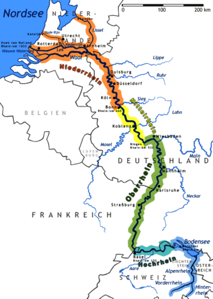
The Moder (French: la Moder, German: die Moder) is a 93-kilometre (58 mi) long river in northeastern France, left tributary of the river Rhine. Its source is near the hamlet Moderfeld, in the commune of Zittersheim. It joins the Rhine near the Iffezheim Lock, in Germany.
Notes
- This article is based on the equivalent article from the French Wikipedia, consulted on January 21st 2009.
External links
| ||||||||||||