Mittaggüpfi
| Mittaggüpfi | |
|---|---|
| Gnepfstein | |
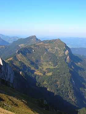 Mittaggüpfi (right summit) from the east side | |
| Elevation | 1,917 m (6,289 ft) |
| Prominence | 167 m (548 ft)[1] |
| Parent peak | Stäfeliflue |
| Location | |
 Mittaggüpfi Location in Switzerland | |
| Location | Lucerne/Obwalden, Switzerland |
| Range | Emmental Alps |
| Coordinates | 46°58′18″N 8°11′15″E / 46.97167°N 8.18750°ECoordinates: 46°58′18″N 8°11′15″E / 46.97167°N 8.18750°E |
The Mittaggüpfi (also known as Gnepfstein) is a mountain of the Emmental Alps, located west of Mount Pilatus on the border between the Swiss cantons of Lucerne and Obwalden.
References
- ↑ Retrieved from the Swisstopo topographic maps and Google Earth. The key col is located south-west of the summit at 1,750 metres.