Millerton, New Zealand
| Millerton | |
|---|---|
 Millerton | |
| Coordinates: 41°38′4″S 171°52′38″E / 41.63444°S 171.87722°E | |
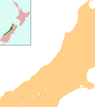
| Country | New Zealand |
| Region | West Coast |
| District | Buller District |
Millerton is a small settlement in the northwestern South Island of New Zealand in the West Coast region. It is in the Papahaua Ranges, around 25 kilometres north east of Westport, on SH67 from Westport to Karamea.
The history of Millerton bears some resemblance to that of Denniston, being a town that lived from and for the coal that was mined in the Ranges. As Denniston, Millerton is now almost without population, sometimes classified as a ghost town.[1]
Mining
Despite its elevation of 300 m being considerably lower than that of Denniston (494 m), the grade between the coastline and Millerton still meant that the coal was difficult to get down to the railway. The Westport Coal Company built the Millerton Incline in 1891 and the Millerton Mine began production in 1896. Mining at Millerton ended in the late 1960s, similar again to Denniston.[2] The Millerton Incline was a narrow gauge (2 ft) incline consisting of two parallel tracks on which the coal tubs ran, being hauled by rope. Remnants of tracks, trucks, bath house and other installations are still visible. The Millerton Incline was in its day quite a feat of engineering and the remains of this incline and its infrastructure are more accessible then those of the more famous Denniston incline. The Millerton Incline was used to convey tubs of coal from the mines around the Millerton area to the Bins at Granity, which in their day were the largest coal loading bins of wooden construction in NZ. The Bins are long gone, but the incline remains and is well worth a look.
The Hon. William McIntyre from Millerton was a member of the Legislative Council from 1921 until he died in 1949, and was known as the Father of the Upper House. A miner from Scotland, he (with his brother) set a record for the coal mined in one shift at the Millerton Mine.
With the Denniston and the smaller Millerton mining operations having stopped, the nearby Stockton coalfield is continuing the tradition of West Coast coal; however plans are afoot by Solid Energy New Zealand to extend the life of the Stockton mining area by opening up the old Millerton Mine workings, albeit as an open cast pit. It is also proposed to build a hydro scheme up on the Stockton plateau, mostly in the former mining areas. The Millerton Incline will not be torn apart, however the Electric Loco Line as well as the Stockton Incline (The incline that ran to Ngakawau) will each suffer severe degradation as a result of the flooding of certain areas to create the hydro lakes for the new power scheme.
Community
In terms of the community, in its heyday Millerton had its own Lodge of the Royal Antediluvian Order of Buffaloes, this being the Lookout Lodge No 127 of the R.A.O.B. NZ Constitution of the Grand Lodge of England. The Lodge was opened in 1950. Support in terms of membership of the lodge was strong enough that eventually The Lookout Lodge acquired its own Lodge hall in Millerton which was the old Rechabites Lodge Hall (according to some old timers recollections of the area). The Lookout Lodge RAOB outlived the Millerton Incline by about 20 years, and closed sometime in the mid-1980s. A letter of correspondence between LookOut Lodge and Mount Rochfort Lodge advising of the date of a lodge ceremony, is dated May 1981 and has been cited by this historian.
The Millerton football (soccer) club, known as the Millerton All Blacks, were twice runners-up in the Chatham Cup, New Zealand's knockout football competition, in 1932 and 1933.[3]
Tourism
Few tourists seem to venture further up the West Coast north of Westport and with the narrow, steep and winding road, even fewer of them visit Denniston and the smaller Millerton site. Nevertheless, the local community offers maps which show the various objects that are still visible. The road to Millerton has spectacular views across the coast and the rain forest. Some short walkways connect the roads with historic and scenic places.
References
Coordinates: 41°38′S 171°52′E / 41.633°S 171.867°E
| ||||||||||