Middle Island, Falkland Islands
There are several other "Middle Island"s in the Falkland Islands
| Middle Island | |
|---|---|
| Island | |
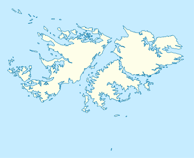
 Middle Island Middle Island shown within the Falkland Islands | |
| Coordinates: 51°38′14″S 60°20′53″W / 51.63722°S 60.34806°WCoordinates: 51°38′14″S 60°20′53″W / 51.63722°S 60.34806°W | |
| Country | Falkland Islands |
| Area | |
| • Total | 1.55 km2 (0.60 sq mi) |
| Highest elevation | 120 m (390 ft) |
| Time zone | FKST (UTC−3) |
| If shown, area and population ranks are for all islands and all inhabited islands in the Falklands respectively. | |
Middle Island is one of the Hummock Island group in the Falkland Islands. It is near West Falkland, to its west, near the estuary of the Chartres River[1] in King George Bay It is to the south east of Hummock Island.
Middle Island has a land area of 155 hectares (380 acres; 0.60 sq mi) and its cone rises to 120 metres (390 ft). It is believed that it was used for grazing for a short time before 1930 but has been not been grazed since then and is free of predators[2]
References
- ↑ Strange, Ian (1983) The Falkland Islands
- ↑ PART II: Falkland Islands Important Bird Areas - Hummock Island Group