Mickleham, Victoria
| Mickleham Melbourne, Victoria | |||||||||||||
|---|---|---|---|---|---|---|---|---|---|---|---|---|---|
|
Mickleham from the northwest | |||||||||||||
 Mickleham | |||||||||||||
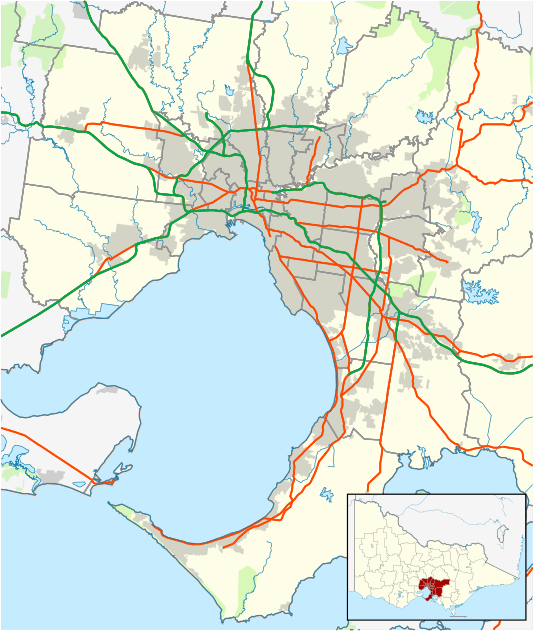
| Coordinates | 37°33′43″S 144°52′26″E / 37.562°S 144.874°ECoordinates: 37°33′43″S 144°52′26″E / 37.562°S 144.874°E | ||||||||||||
| Population | 1,185 (2011 census)[1] | ||||||||||||
| Postcode(s) | 3064 | ||||||||||||
| Location | 32 km (20 mi) from Melbourne | ||||||||||||
| LGA(s) | City of Hume | ||||||||||||
| State electorate(s) | Yuroke | ||||||||||||
| Federal Division(s) | McEwen | ||||||||||||
| |||||||||||||

Mickleham is a suburb of Melbourne, Victoria, Australia, 32 km north of Melbourne's central business district, beyond the Urban Growth Boundary.[2] Its local government area is the City of Hume. At the 2011 Census, Mickleham had a population of 1,185.
Mickleham is located north of Yuroke, on Mickleham Road.
History
Mickleham Post Office opened on 1 February 1862 and closed in 1967. To the west of the locality a Konagaderrer office opened in 1913 as settlement took place along Deep Creek but closed in 1920. This area is now known as Konagaderra Springs.[3]
Today
Mickleham has a primary school which is located on the corner Mickleham and Mount Ridley Roads. Next to the primary school is the community centre and tennis courts.
See also
- Shire of Bulla - the former local government area of which Mickleham was a part
References
- ↑ Australian Bureau of Statistics (31 October 2012). "Mickleham (State Suburb)". 2011 Census QuickStats. Retrieved 2012-06-22.
- ↑ Urban Growth Boundary map
- ↑ Premier Postal History, Post Office List, retrieved 2008-04-11
External links
![]() Media related to Mickleham, Victoria at Wikimedia Commons
Media related to Mickleham, Victoria at Wikimedia Commons
| ||||||