Mexia, Alabama
| Mexia, Alabama | |
|---|---|
| Unincorporated community | |
 Mexia, Alabama | |
| Coordinates: 31°30′26″N 87°23′18″W / 31.50722°N 87.38833°WCoordinates: 31°30′26″N 87°23′18″W / 31.50722°N 87.38833°W | |
| Country | United States |
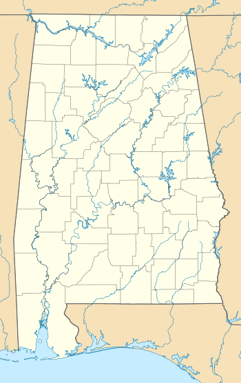
| State | Alabama |
| County | Monroe |
| Elevation | 413 ft (126 m) |
| Time zone | Central (CST) (UTC-6) |
| • Summer (DST) | CDT (UTC-5) |
| ZIP code | 36458 |
| Area code(s) | 251 |
| GNIS feature ID | 122677[1] |
Mexia is an unincorporated community in Monroe County, Alabama, United States. Mexia is located on Alabama State Route 47 4 miles (6.4 km) west-southwest of Monroeville. Mexia has a post office with ZIP code 36458.[2][3] Mexia has a couple of small historic cemeteries on Thompson Road, and Rolland Road. If you follow Old Salem Creek Road until you reach the creek, fossils of mollusks may be found along the banks.
References
- ↑ "Mexia". Geographic Names Information System. United States Geological Survey.
- ↑ United States Postal Service (2012). "USPS - Look Up a ZIP Code". Retrieved 2012-02-15.
- ↑ "Postmaster Finder - Post Offices by ZIP Code". United States Postal Service. Retrieved December 21, 2012.
| |||||||||||||||||||||||||||||
