Meugher
| Meugher | |
|---|---|
|
Meugher from the west | |
| Elevation | 575 m (1,886 ft) |
| Prominence | 36 m (118 ft) |
| Parent peak | Great Whernside |
| Listing | Dewey |
| Location | |
 Meugher | |
| OS grid | SE 0440 7042 |
| Coordinates | 54°07′46.38″N 1°56′2.30″W / 54.1295500°N 1.9339722°WCoordinates: 54°07′46.38″N 1°56′2.30″W / 54.1295500°N 1.9339722°W |
| Topo map | OS Landranger 98 |

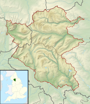
Meugher (/ˈmuː.fər/)[1] is a hill in the Yorkshire Dales, England. It lies in remote country between Wharfedale and Nidderdale, in the parish of Stonebeck Down less than 1 km outside the Yorkshire Dales National Park. The hill has a conical peak, which has been described as "perhaps the remotest and least inviting summit in the Yorkshire Dales".[2] It is hydrologically within the Nidderdale drainage area, with Meugher Dyke draining the southern and eastern flanks, and Cross Gill draining the western flank, and the two draining the northern flank.[3]
The name was first recorded in 1120, and probably derives from the Old Norse mjór haugr, meaning "small hill".[4]
References
- ↑ North Yorkshire Open Access Walks: Walk 3
- ↑ Speakman, Colin (2006). Green Networks of the Dales. p. 50. ISBN 1-905080-15-8.
- ↑ "Location of Meugher". Ordnance Survey 1:50000. Streetmap EU Ltd.
- ↑ Smith, A.H. (1961). The Place-names of the West Riding of Yorkshire 5. Cambridge University Press. p. 216.
External links
![]() Media related to Meugher at Wikimedia Commons
Media related to Meugher at Wikimedia Commons