Mettet
| Mettet | ||
|---|---|---|
| Municipality | ||
 | ||
| ||
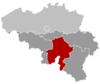
 Mettet Location in Belgium | ||
|
Location of Mettet in the province of Namur 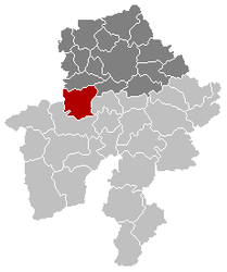 | ||
| Coordinates: 50°19′N 04°40′E / 50.317°N 4.667°ECoordinates: 50°19′N 04°40′E / 50.317°N 4.667°E | ||
| Country | Belgium | |
| Community | French Community | |
| Region | Wallonia | |
| Province | Namur | |
| Arrondissement | Namur | |
| Government | ||
| • Mayor | Michel Remy (ICAP) | |
| • Governing party/ies | ICAP, RC-MR | |
| Area | ||
| • Total | 116.78 km2 (45.09 sq mi) | |
| Population (1 January 2013)[1] | ||
| • Total | 12,789 | |
| • Density | 110/km2 (280/sq mi) | |
| Postal codes | 5640, 5641, 5644, 5646 | |
| Area codes | 071 | |
| Website | www.mettet.be | |

Mettet (French pronunciation: [mɛ.tɛ]) is a Walloon municipality located in the Belgian province of Namur. On 1 January 2006 Mettet had 11,977 inhabitants. The total area is 116.78 km², giving a population density of 103 inhabitants per km².
Notable people
- Alain Crépin (1954–), conductor and musician
Circuit Jules Tacheny
- In Mettet there is a race track, Circuit Jules Tacheny Mettet, for motorbikes and cars.
References
- ↑ Population per municipality on 1 January 2013 (XLS; 607.5 KB)
External links
- Official website (in French)
- Official website of race track "Jules Tacheny" (in French and Dutch)
- Motorbike Race Circuit "Jules Tacheny" (in French)
- Mettet d'autrefois, Site of old postcards and old photographs of Mettet. Collection of PIERRE HUBOT
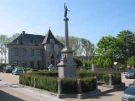
Mettet: the town hall
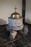
Baptismal font of Furnaux Foto : Dirk vdE
| ||||||||||||||||