Mera Peak
| Mera Peak | |
|---|---|
|
| |
| Elevation | 6,476 m (21,247 ft)[1] |
| Location | |
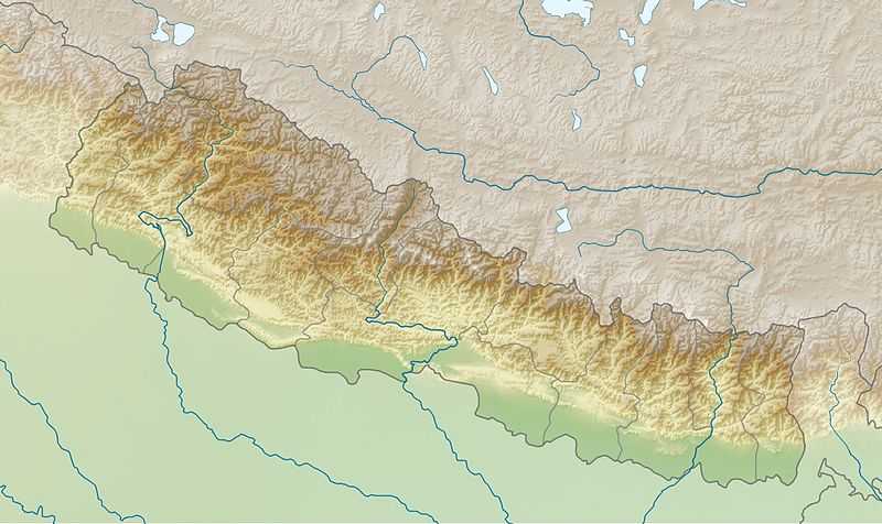
 Mera Peak Location in Nepal | |
| Location | Hinku Valley, Nepal |
| Range | Mahalangur Himalaya |
| Coordinates | 27°42′33″N 86°52′06″E / 27.70917°N 86.86833°ECoordinates: 27°42′33″N 86°52′06″E / 27.70917°N 86.86833°E |
| Climbing | |
| First ascent | Mera Central: May 20, 1953 by Col. Jimmy Roberts and Sen Tenzing; Mera North: 1975 by Marcel Jolly, G. Baus and L. Honills |
| Easiest route | snow/ice/glacier climb |
Mera Peak is a mountain in the Mahalangur section, Barun sub-section of the Himalaya and administratively in Nepal's Sagarmatha Zone, Solukhumbu District. At 6,476 metres (21,247 ft) it is classified as a trekking peak. It contains three main summits: Mera North, 6,476 metres (21,247 ft); Mera Central, 6,461 metres (21,198 ft); and Mera South, 6,065 metres (19,898 ft), as well as a smaller "trekking summit", visible as a distinct summit from the south but not marked on most maps of the region.
The height of Mera is often given as 6654 meters, and claimed to be the highest trekking peak. This figure actually points to nearby Peak 41, which was mistakenly named Mera in a list of Himalayan peaks, and the figures were copied to the official trekking peak list as they were, including the wrong location coordinates.
The first ascent of Mera Central was on May 20, 1953 by Col. Jimmy Roberts and Sen Tenzing (who was known by the nickname The Foreign Sportsman).[2] Mera North was first climbed by the French climbers Marcel Jolly, G. Baus and L. Honills in 1975.[3] The region was first explored extensively by British expeditions in the early 50s before and after the ascent of Everest. Members of those teams included Edmund Hillary, Eric Shipton and George Lowe.[4]
Jimmy Roberts (1916-1997) was probably the person who can take most of the credit for establishing the trekking industry in Nepal in the early 1960s.[5] He was posthumously awarded the "Sagarmatha (Everest) National Award" by the government in May 2005.
The view from the summit is one of the finest in the Himalaya with five 8,000m peaks visible: Mount Everest, Lhotse, Cho Oyu, Makalu, and Kangchenjunga, as well as other Himalayan peaks linked below. The standard route from the north involves high altitude glacier walking. The ease of reaching this elevation may be its biggest danger but good weather and snow conditions are, of course, necessary for safety and success. The west and south faces of the peak offer more difficult technical routes.
For experienced climbers it is a technically straightforward ascent, the main hurdle being proper acclimatization to the high altitude. These reasons make Mera Peak a very popular destination, with many adventure tour companies offering guided trips to the mountain for clients with little or no mountaineering experience.[6] All climbers are recommended to partake in preparative fitness and altitude training before attempting an ascent.
In 1986 Mal Duff and Ian Tattersall made the first ascent of the south west pillar.[7] The route is approximately 1,800 metres (5,900 ft) in length and graded at ED inf. The approach to the base of the pillar is extremely exposed to serac fall.
Gallery
References
- ↑ "Mera Peak, Nepal" Peakbagger.com. Retrieved 2012-02-19.
- ↑ Roberts, J.O.M. (1954). "South of Everest (in "Everest, 1953" by Charles Wylie)". Himalayan Journal 18: 59–64. Retrieved November 30, 2012.
- ↑ O'Connor, Bill. The Trekking Peaks of Nepal. The Crowood Press, 1989, p.32
- ↑ Shipton, Eric. That Untravelled World. Hodder and Stoughton, 1969, pp.183-214
- ↑ Isserman, Maurice & Weaver, Stewart. Fallen Giants: A History of Himalayan Mountaineering from the Age of Empire to the Age of Extremes. Yale University Press, 2008, p.381
- ↑
- ↑ Duff, Mal (1987). "The Other Side of the Mera: The First Ascent of the SW Pillar of Mera Peak (6487m), Hinku Valley, Nepal" (PDF). Alpine Journal: 89–91. Retrieved October 12, 2012.
External links
| Wikimedia Commons has media related to Mera Peak. |


