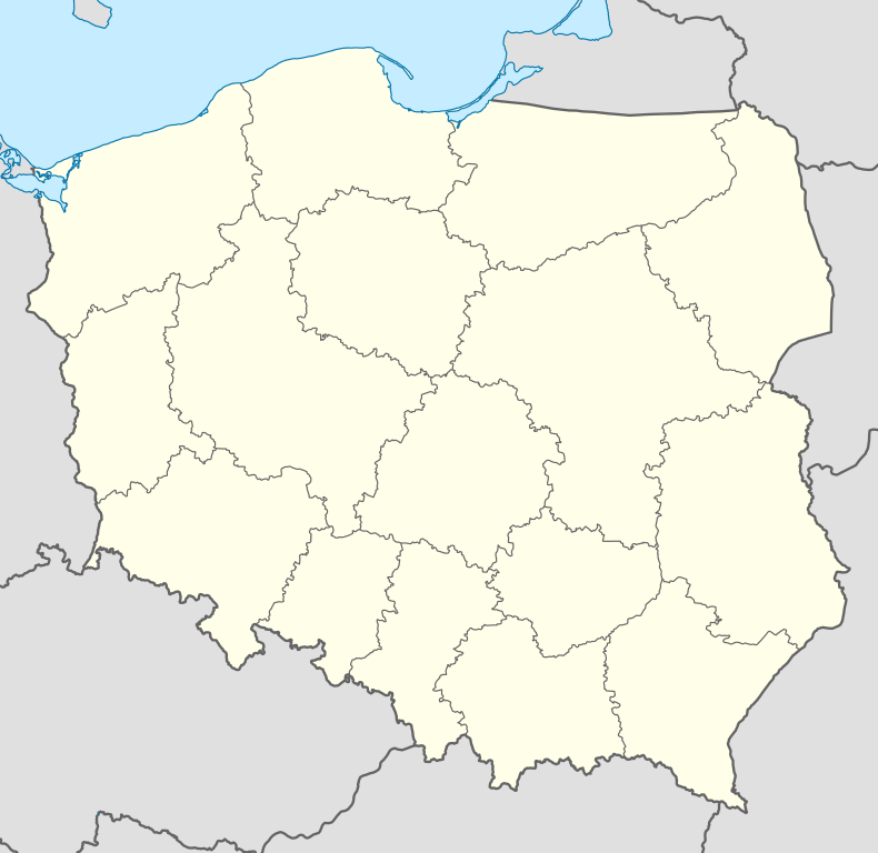
Mariampole
Coordinates: 52°54′1.3″N 21°16′36.58″E / 52.900361°N 21.2768278°E
For the city in Lithuania, see Marijampolė.
| Mariampole | |
|---|---|
| Village | |
 Mariampole | |
| Coordinates: 52°54′1″N 21°16′36″E / 52.90028°N 21.27667°E | |
| Country |
|
| Voivodeship | Masovian |
| County | Maków |
| Gmina | Czerwonka |
Mariampole [marjamˈpɔlɛ] is a village in the administrative district of Gmina Czerwonka, within Maków County, Masovian Voivodeship, in east-central Poland.[1] It lies approximately 5 kilometres (3 mi) east of Czerwonka, 13 km (8 mi) east of Maków Mazowiecki, and 79 km (49 mi) north of Warsaw.
References
| ||||||||||