Marangaroo, Western Australia
Not to be confused with Marrangaroo, New South Wales.
| Marangaroo Perth, Western Australia | |||||||||||||
|---|---|---|---|---|---|---|---|---|---|---|---|---|---|
 Marangaroo | |||||||||||||
| Coordinates | 31°49′41″S 115°50′10″E / 31.828°S 115.836°ECoordinates: 31°49′41″S 115°50′10″E / 31.828°S 115.836°E | ||||||||||||
| Population | 10,322 (2006 census)[1] | ||||||||||||
| Postcode(s) | 6064 | ||||||||||||
| Location | 18 km (11 mi) from Perth City | ||||||||||||
| LGA(s) | City of Wanneroo | ||||||||||||
| State electorate(s) | Girrawheen | ||||||||||||
| Federal Division(s) | Cowan | ||||||||||||
| |||||||||||||
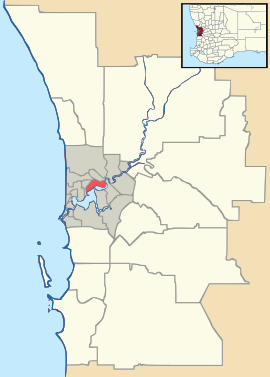
Marangaroo is a suburb of Perth, Western Australia. It is located approximately 18 km north of Perth City, and is home to the Marangaroo Golf Course and two primary schools - Rawlinson Primary School which was established in 2003 and Marangaroo Primary School which was established in 1987.
Marangaroo means place of blue flowers in the local aboriginal language. Marangaroo`s borders comprise Wanneroo Road, Hepburn Avenue, Mirrabooka Avenue and Marangaroo Drive.
References
- ↑ Australian Bureau of Statistics (25 October 2007). "Marangaroo (State Suburb)". 2006 Census QuickStats. Retrieved 2008-10-05.
| |||||||||||||||||||||
