Manuhangi
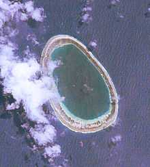 NASA picture of Manuhangi Atoll | |
 | |
| Geography | |
|---|---|
| Location | Pacific Ocean |
| Coordinates | 19°14′S 141°15′W / 19.233°S 141.250°WCoordinates: 19°14′S 141°15′W / 19.233°S 141.250°W |
| Archipelago | Tuamotus |
| Area |
7 km2 (2.7 sq mi) (lagoon) 1 km² (above water) |
| Length | 5.4 km (3.36 mi) |
| Width | 3.6 km (2.24 mi) |
| Country | |
|
France | |
| Overseas collectivity | French Polynesia |
| Administrative subdivision | Tuamotus |
| Commune | Hao |
| Demographics | |
| Population | Uninhabited[1] (as of 2012) |
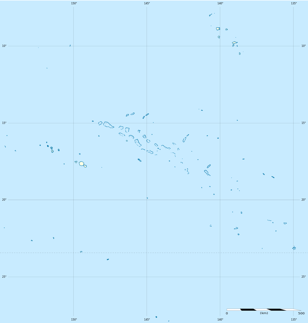
Manuhangi (also known as Te Fara[2]) is an atoll of the Tuamotu Archipelago in French Polynesia. It is located 68km southeast of Nengonengo, 52km west of Paraoa and 845km east of Tahiti.[3]
Manuhangi Atoll is small in size,[3] with a length of 5.4 km and a maximum width of 3.6 km. It has an oval shape and a coral reef completely enclosing a small lagoon. Manuhangi has a hook-shaped island covering the east and northeast of its reef.
History
The old Paumotu (Tuamotu’s inhabitants) called this small atoll "manu hagi" (meaning "the loving bird").[4] The atoll has been uninhabited for many years.[4]
The first recorded European who arrived to Manuhangi was English navigator Samuel Wallis in 1767.[4] He named it "Cumberland".
Administration
Administratively Manuhangi belongs to the commune of Hao (main village: Otepa), which includes Ahunui (uninhabited), Nengonengo, Manuhangi (no permanent inhabitant) and Paraoa (uninhabited).
Flora and fauna
Manuhangi is a protected area and various species of birds are found in the atoll.[4] Part of the land is planted with coconut palms.[5] Apart from the birds, the fauna of the island primarily consists of coconut crabs.[5]
Economy and infrastructure
Tahitian black pearls are collected and cultivated in the surrounding islands.[4] The island has some houses with permanent structures, cisterns, and water supply from natural wells.[5] Manuhangi has no permanent inhabitant.[6]
References
- ↑ "Population". Institut de la statistique de la Polynésie française. Retrieved 6 October 2014.
- ↑ Young, J.L. (1899). "Names of the Paumotu Islands, with the old names so far as they are known.". Journal of the Polynesian Society 8 (4): 264–268. Retrieved 7 January 2015.
- ↑ 3.0 3.1 Manuhangi at the Wayback Machine (archived December 23, 2010) Oceandots.com
- ↑ 4.0 4.1 4.2 4.3 4.4 Manuhangi Atoll Privateislandsonline.com
- ↑ 5.0 5.1 5.2 Manuhangi Atoll Pavilionsofsplendourinternational.com
- ↑ United Nations Environment Programme, IUCN Commission on National Parks and Protected Areas (1986). Review of the Protected Areas System in Oceania. The World Conservation Union. pp. p207. ISBN 2-88032-509-9.
| ||||||||||||||||||||