Mantong Township
| Mantong | |
|---|---|
| Township | |
 Mantong | |
| Coordinates: 23°15′0″N 97°7′0″E / 23.25000°N 97.11667°E | |
| Country |
|
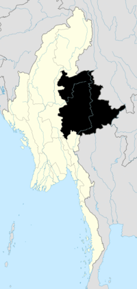
| State | Shan State |
| Self-administered zone | Pa Laung |
| Elevation[1] | 4,121 ft (1,256 m) |
| Time zone | MMT (UTC+6:30) |
Mantong Township ((Burmese: မန်တုံမြို့နယ်); also Manton Township and Mantung Township) is a township of the Pa Laung Self-Administered Zone[2] in the Shan State of Burma (Myanmar). The principal town and administrative seat is Mantong (Manton).
Prior to August 2010, Mantong Township was part of Mu Se District of the Shan State.[3]
References
- ↑ GoogleEarth
- ↑ "The Union of Myanmar, The State Peace and Development Council, Notification No. 33/2010, 20 August 2010" English translation
- ↑ "Map of Shan State" Myanmar's NET, showing district boundaries, last accessed 21 November 2010
