Manpagale
| Manpagale | |
|---|---|
| Village | |
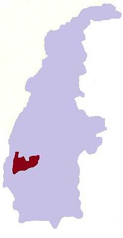
 Manpagale Location in Burma | |
| Coordinates: 23°31′N 94°24′E / 23.517°N 94.400°ECoordinates: 23°31′N 94°24′E / 23.517°N 94.400°E | |
| Country |
|
| Region | Sagaing Region |
| District | Kale District |
| Township | Kalewa Township |
| Time zone | MST (UTC+6.30) |
Manpagale is a village in Kalewa Township, Kale District, in the Sagaing Region of western Burma. It lies on the left bank of the Chindwin River.[1][2]
See also
References
- ↑ Google Maps (Map). Google.
- ↑ Bing Maps (Map). Microsoft and Harris Corporation Earthstar Geographics LLC.