Manipa
 Location of Manipa | |
 | |
| Geography | |
|---|---|
| Location | South East Asia |
| Archipelago | Maluku Islands |
| Highest elevation | 632 m (2,073 ft) |
| Highest point | Kala Huhun |
| Country | |
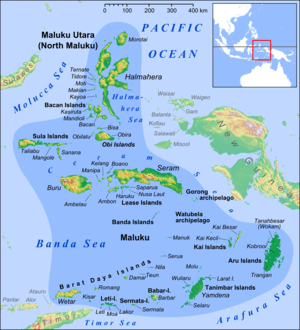
Manipa Island is an island in Central Maluku Regency, Maluku Province, Indonesia. It is located 8 km off the western coast of Kelang at the western end of Seram Island and 25 km off the western coast of Buru. The inhabitants speak the Manipa language, as well as Indonesian and Ambonese Malay.[1]
Manipa has a number of small islands close to its shores: Masawi and Asamamonuke on a reef on its northeastern coast, Suanggi off its western tip, Tuban in the south and Luhu in the north.[2]
This island gives its name to the Manipa Strait between Buru and Seram.
References
- ↑ Ethnologue 15 report for Indonesia (Maluku)
- ↑ Pub164, 2004 Sailing Directions (Enroute): New Guinea
External links
Coordinates: 3°17′S 127°33′E / 3.283°S 127.550°E
| ||||||||||