Makaroa
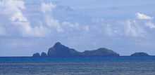 View of Makaroa Island | |
 | |
| Geography | |
|---|---|
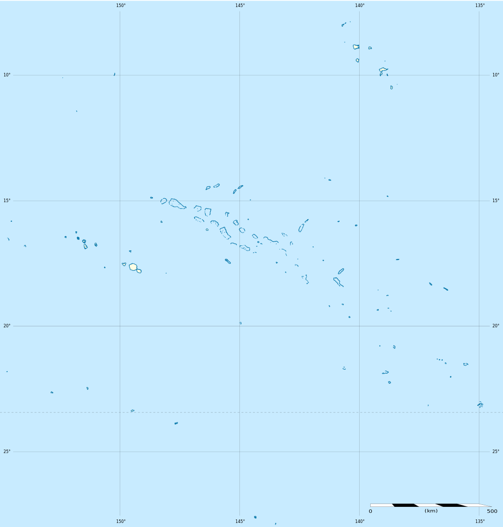
| Location | Pacific Ocean |
| Coordinates | 23°13′08″S 134°58′16″W / 23.21889°S 134.97111°WCoordinates: 23°13′08″S 134°58′16″W / 23.21889°S 134.97111°W |
| Archipelago | Tuamotus |
| Area | 0.2 km2 (0.077 sq mi) |
| Length | 1.3 km (0.81 mi) |
| Highest elevation | 138 m (453 ft) |
| Highest point | (unnamed) |
| Country | |
|
France | |
| Overseas collectivity | French Polynesia |
| Administrative subdivision | Tuamotus |
| Commune | Gambier Islands |
| Demographics | |
| Population | Uninhabited[1] (as of 2012) |
Makaroa is an island in the Gambier Islands of French Polynesia, 8.5 km south of Mangareva within the same lagoon. Makaroa is about 1.3 km in length and has a small rocky islet off its NW point.
Makaroa is uninhabited. It is a jagged and barren island with a maximum height of 138 m. 1.8 km to the SSE lies Kamaka Island.[2]
References
- ↑ "Population". Institut de la statistique de la Polynésie française. Retrieved 2 October 2014.
- ↑ David Stanley, Tahiti-Polynesia handbook
External links
| Wikimedia Commons has media related to Makaroa. |
| ||||||||||||||||||||