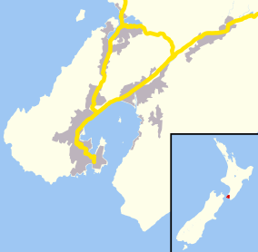
Makara, New Zealand
| Makara | |
|---|---|
|
Makara beach | |
 Makara | |
| Basic information | |
| Local authority | Wellington |
| Population | 759 (2006) |
| Facilities | |
| Surrounds | |
| North | Ohariu |
| East | Karori, Owhiro Bay |
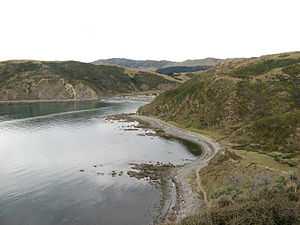
Makara is a locality located at the western edge of Wellington, New Zealand, close to the shore of the Tasman Sea.[1]
With winding road access from Karori or Johnsonville / Ohariu, Makara is a rural area with sparse development.
In the nineteenth century there was a small amount of gold-mining but no large-scale workable deposits were ever found.
Adjacent to Cape Terawhiti the Cook Strait cables come ashore, carrying power and telecommunications between the North and South Islands.
See also
Project West Wind wind farm.
References
- ↑ "Place Name Detail: Makara". New Zealand Geographic Placenames Database. Land Information New Zealand. Retrieved 2010-05-06.
External links
| Wikimedia Commons has media related to Makara, New Zealand. |
Coordinates: 41°16′09″S 174°42′18″E / 41.269120°S 174.705122°E
| ||||||||||||||||||||||