Müşkapat
Coordinates: 39°46′17″N 46°58′46″E / 39.77139°N 46.97944°E
| Müşkapat Mushkapat | |
|---|---|
 Müşkapat | |
| Coordinates: 39°46′17″N 46°58′46″E / 39.77139°N 46.97944°E | |
| Country |
De jure De facto |
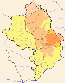
| Rayon Province |
Khojavend Martuni Province |
| Area | |
| • Total | 86,600 km2 (33,400 sq mi) |
| Elevation | 703 m (2,306 ft) |
| Population | |
| • Total | 7,961,619 |
| Time zone | AZT (UTC+4) |
| • Summer (DST) | AZT (UTC+5) |
| Website | www.mushkapat.com |
Müşkapat (Armenian: Մուշկապատ, also Moushkapat and Mushkapat) with a latitude of 39.77(39°46′17 N) and a longitude of 46.98(46°58′6 E), is a populated place located in Khojavend Rayon region of Azerbaijan that is a part of Asia.[1]
Location placement
Mushkapat is situated 65 kilometers south west (205°) of the approximate center of Azerbaijan and 256 kilometers west (255°) of capital Baku.[2]
Area Population and Elevation
A 100 square kilometer area around Mushkapat has an approximate population of 634617 (0.006346 persons per square meter) and an average elevation of 703 meters above sea levels.[3]
References
- ↑ mushkapat.com/about.html Location type & Co ordinates
- ↑ http://www.mushkapat.com/about.html Location placement
- ↑ http://www.mushkapat.com Area population and elevation
- ↑ http://www.getamap.net/maps/azerbaijan/xocav?nd/_mushkapat/

| |||||||||||||