Luzit
| Luzit | |
|---|---|
 Luzit | |
| Coordinates: 31°41′5.63″N 34°53′11.39″E / 31.6848972°N 34.8864972°ECoordinates: 31°41′5.63″N 34°53′11.39″E / 31.6848972°N 34.8864972°E | |
| Council | Mateh Yehuda |
| Region | Shephelah |
| Affiliation | Moshavim Movement |
| Founded | 1955 |
| Founded by | North African Jews |
| Population (2008) | 352[1] |
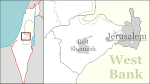
Luzit (Hebrew: לוּזִית, lit. Almond Tree) is a moshav in central Israel. Located between Beit Shemesh and Kiryat Gat, it falls under the jurisdiction of Mateh Yehuda Regional Council. In 2006 it had a population of 344.
The village was established in 1955 by immigrants from North Africa, and was initially named Dir Duban Bet after the depopulated Palestinian village of Dayr al-Dubban. It was later renamed Luzit after almond trees, which are common in the area.
References
- ↑ "Locality File" (XLS). Israel Central Bureau of Statistics. 2008. Retrieved 2010-06-22.