Luba, Equatorial Guinea
| Luba | |
|---|---|
|
Luba, 2013 | |
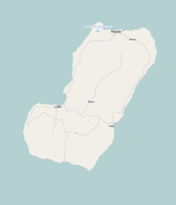 Luba Location in Bioko | |
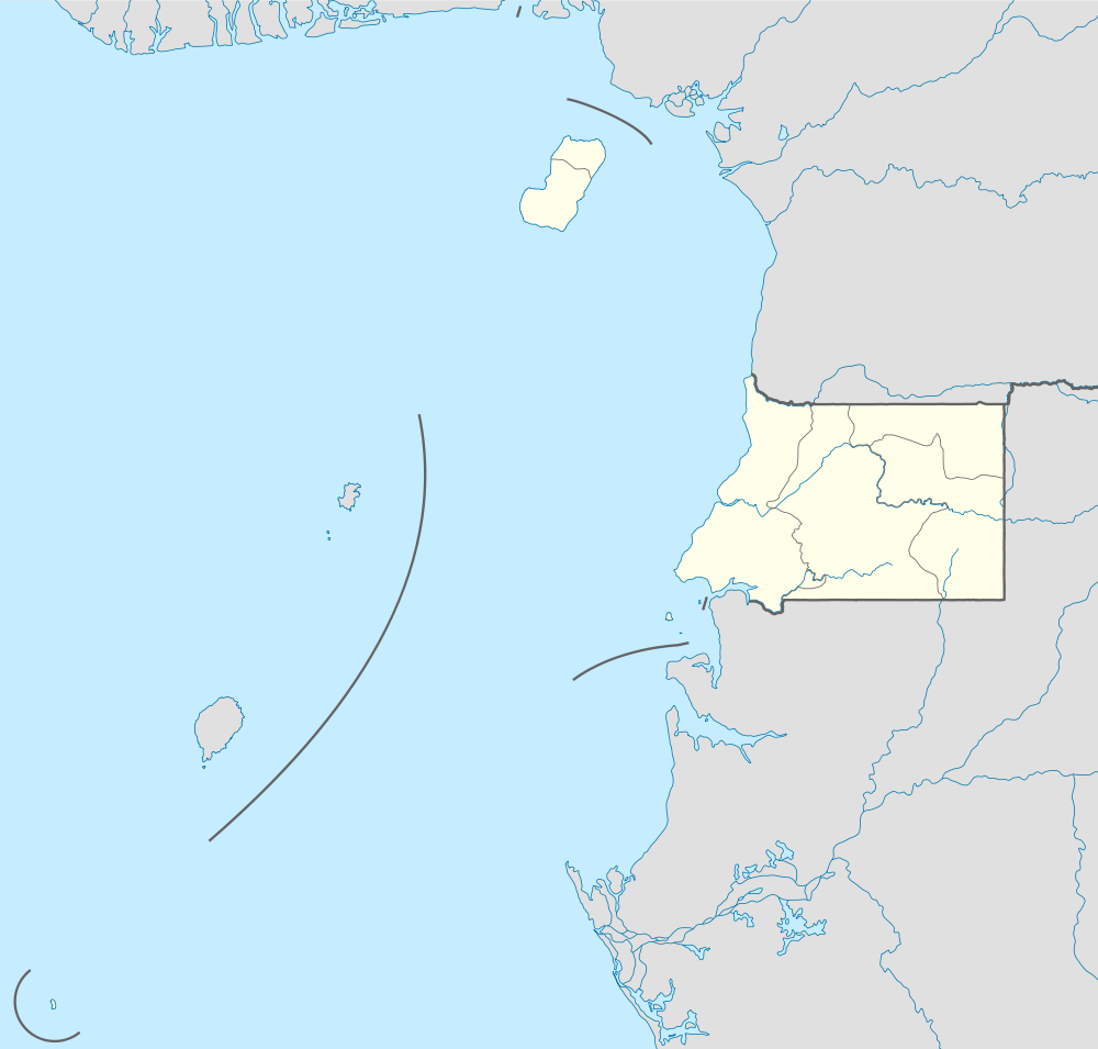 Luba Location in Equatorial Guinea | |
| Coordinates: 3°27′N 8°33′E / 3.450°N 8.550°ECoordinates: 3°27′N 8°33′E / 3.450°N 8.550°E | |
| Country |
|
| Province | Bioko Sur |
| Elevation | 181 m (594 ft) |
| Population (2012) | |
| • City | 7,739 |
| • Metro | 24,000 |
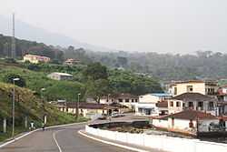
Luba (formerly San Carlos) is the second largest town of Bioko in Equatorial Guinea, having a population of around 7,000 people. It lies on the west coast beneath volcanic peaks and is a port for the logging industry. Attractions in the town include several beaches and a colonial hospital.
The city may be joined either by sea or by a main road linking Luba to the country's capital, Malabo. The road now accessible, it takes about an hour to go from Malabo to Luba.
In 1999, a free port has opened near the town, creating a deep water access for larger vessels, providing oil industry vessels an alternative to the congested port of Malabo for its supply of fuels, water and materials.[1] As of 2010 a new highway was under construction from Luba via Belebú Balachá through the Luba Crater Scientific Reserve to Ureca near the south coast.[2]
References
- ↑ "Welcome to Luba Freeport Ltd". Luba Freeport Ltd. Retrieved 2012-03-26.
- ↑ Cronin, Drew (September 2010). "OPPORTUNITIES LOST: THE RAPIDLY DETERIORATING CONSERVATION STATUS OF THE MONKEYS ON BIOKO ISLAND, EQUATORIAL GUINEA (2010)". Universidad Nacional de Guinea Ecuatorial, Drexel University. p. 7. Retrieved 2012-03-25.