Low Gap, West Virginia
| Low Gap | |
|---|---|
| Unincorporated community | |
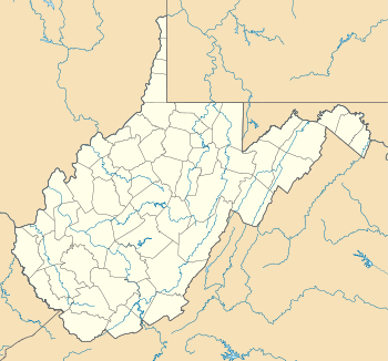 Low Gap Location within the state of West Virginia | |
| Coordinates: 38°1′53″N 81°50′8″W / 38.03139°N 81.83556°WCoordinates: 38°1′53″N 81°50′8″W / 38.03139°N 81.83556°W | |
| Country | United States |
| State | West Virginia |
| County | Boone |
| Elevation | 745 ft (227 m) |
| Time zone | Eastern (EST) (UTC-5) |
| • Summer (DST) | EDT (UTC-4) |
| GNIS ID | 1542497[1] |
Low Gap is an unincorporated community in Boone County, West Virginia.
References
| |||||||||||||||||||||||||||||
