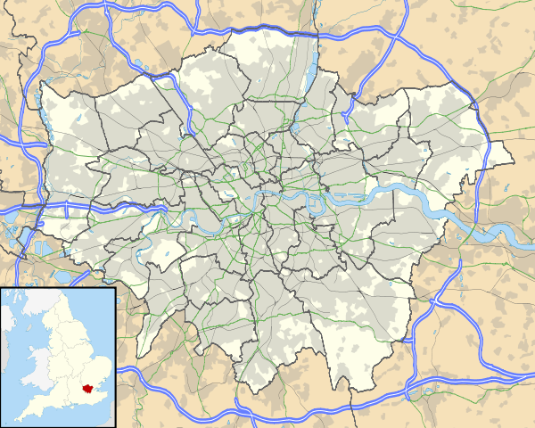
List of highest points in London

This is a list of the highest points above sea level in London, England. Only places that are at least 100 metres are included. All are lower than London's highest building, the Shard London Bridge

Location London borough OS grid reference Height[1]
Westerham Heights Bromley TQ436564 (51°17′17″N 0°03′36″E / 51.288°N 0.060°E) 245 metres (804 ft) [1]
Sanderstead Plantation Croydon TQ343618 (51°20′20″N 0°04′19″W / 51.339°N 0.072°W) 175 metres (574 ft) [1]
Stanmore Hill Harrow TQ164934 (51°37′37″N 0°19′05″W / 51.627°N 0.318°W) 152 metres (499 ft)
Arkley Barnet TQ219956 (51°38′42″N 0°14′17″W / 51.645°N 0.238°W) 147 metres (482 ft) [1]
Clockhouse Recreation Ground Sutton TQ282598 (51°19′19″N 0°09′36″W / 51.322°N 0.160°W) 147 metres (482 ft) [1]
Highwood Hill Barnet TQ218941 (51°37′55″N 0°14′24″W / 51.632°N 0.240°W) 145 metres (476 ft) [1]
Harrow Weald Common Harrow TQ149931 (51°37′26″N 0°20′24″W / 51.624°N 0.340°W) 145 metres (475 ft)[2]
Hampstead Heath (North End) Camden TQ264867 (51°33′54″N 0°10′34″W / 51.565°N 0.176°W) 134 metres (440 ft) [1]
Shooter's Hill Greenwich TQ438765 (51°28′08″N 0°04′16″E / 51.469°N 0.071°E) 132 metres (433 ft) [1]
Highgate (North Hill) Haringey/Islington TQ282878 (51°34′26″N 0°09′00″W / 51.574°N 0.150°W) 129 metres (423 ft) [1]
Pinner Hill Harrow/Hillingdon TQ107916 (51°36′43″N 0°24′04″W / 51.612°N 0.401°W) 126 metres (413 ft)
Scratchwood Barnet TQ201953 (51°38′35″N 0°15′50″W / 51.643°N 0.264°W) 125 metres (410 ft)
Harrow Hill Harrow TQ153874 (51°34′23″N 0°20′10″W / 51.573°N 0.336°W) 124 metres (408 ft)[2]
Bournwell Hill Barnet/Enfield TQ256976 (51°39′47″N 0°11′02″W / 51.663°N 0.184°W) 115 metres (377 ft) [1]
Sydenham Hill (Crystal Palace) Lewisham/Southwark TQ340721 (51°25′55″N 0°04′19″W / 51.432°N 0.072°W) 112 metres (367 ft) [1]
Westow Hill (Crystal Palace) Bromley/Croydon/Lambeth TQ337707 (51°25′08″N 0°04′37″W / 51.419°N 0.077°W) 110 metres (361 ft) [1]
Forest Hill Lewisham TQ350735 (51°26′46″N 0°03′47″W / 51.446°N 0.063°W) 106 metres (348 ft) [3]
Havering-atte-Bower Havering TQ512930 (51°36′54″N 0°11′02″E / 51.615°N 0.184°E) 105 metres (344 ft) [1]
Muswell Hill Haringey TQ283896 (51°35′24″N 0°08′53″W / 51.590°N 0.148°W) 105 metres (344 ft)[4][5]
Woodcock Hill, Harefield Hillingdon TQ067915 (51°36′43″N 0°27′32″W / 51.612°N 0.459°W) 103 metres (338 ft)
Ferny Hill (Enfield Chase) Enfield TQ280979 (51°39′54″N 0°08′56″W / 51.665°N 0.149°W) 102 metres (334 ft)
Highgate Hill Camden/Haringey/Islington TQ288872 (51°34′05″N 0°08′28″W / 51.568°N 0.141°W) 100 metres (328 ft) [1]

‡ was the highest point of the County of London

† neither a natural summit nor an extreme height at the perimeter.

Westerham Heights
Sanderstead Plantation
Bushey Heath
Clockhouse
Pinner Hill
Bournwell Hill
Westow Hill

See also

References

  1. 1.0 1.1 1.2 1.3 1.4 1.5 1.6 1.7 1.8 1.9 1.10 1.11 1.12 1.13 The Mountains of England and Wales - London Borough Tops
  2. 2.0 2.1 "The Physique of Middlesex". A History of the country of Middlesex. British History Online. 1969. Retrieved 2010-03-17.
  3. http://www.hill-bagging.co.uk/search.php
  4. 1:10,560 Sheet TQ28NE, Ordnance Survey, 1968: Spot height 340 ft, top of Fortis Green
  5. Explorer Sheet 173 London North, Ordnance Survey: 105 metres (344 ft) contour around grid reference TQ286896 ([//tools.wmflabs.org/geohack/geohack.php?pagename=List_of_highest_points_in_London&params=51.590_N_-0.143_E_source:enwiki-osgb36(TQ286896) 51°35′24″N 0°08′35″W / 51.590°N 0.143°W)] but no spot height