Lipton, Saskatchewan
For other uses, see Lipton.
| Lipton, Saskatchewan | |
|---|---|
| Village | |
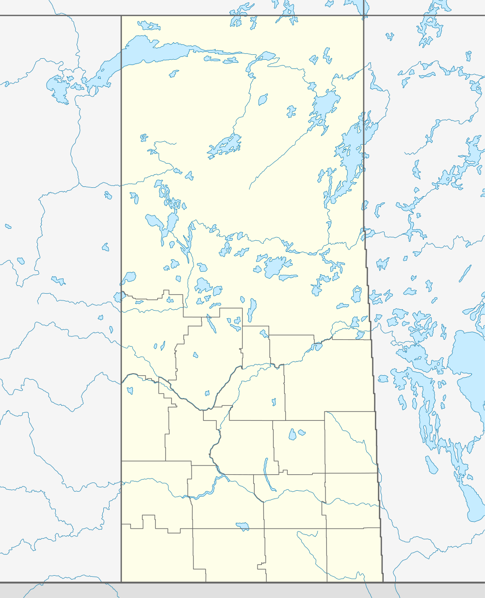 Location of Lipton in Saskatchewan | |
| Coordinates: 50°59′10″N 104°51′43″W / 50.986°N 104.862°W | |
| Country | Canada |
| Province | Saskatchewan |
| Region | Saskatchewan |
| Census division | 6 |
| Rural Municipality | Lipton |
| Post office Founded | N/A |
| Incorporated (Village) | 1905 |
| Government | |
| • Mayor | Marvis Seal |
| • Administrator | Marlene L. Bausmer |
| • Governing body | Lipton Village Council |
| • Fire Chief | Bruce Geoff |
| Area | |
| • Total | 0.75 km2 (0.29 sq mi) |
| Population (2006) | |
| • Total | 342 |
| • Density | 454.7/km2 (1,178/sq mi) |
| Time zone | CST |
| Postal code | S0G 3B0 |
| Area code(s) | 306 |
| Highways | Highway 22 |
| Railways | Canadian Pacific Railway |
| Website | Village of Lipton |
| [1][2][3][4] | |
Lipton is a village in Lipton Rural Municipality No. 217 in the Canadian province of Saskatchewan. The Population was 372 inhabitants at the 2011 Canada Census. The village is located 17 km north of the Town of Fort Qu'Appelle on highway 22.
Demographics
| |||||||||||||||||||
Climate
| Climate data for Lipton | |||||||||||||
|---|---|---|---|---|---|---|---|---|---|---|---|---|---|
| Month | Jan | Feb | Mar | Apr | May | Jun | Jul | Aug | Sep | Oct | Nov | Dec | Year |
| Record high °C (°F) | 7.5 (45.5) |
9.5 (49.1) |
19.5 (67.1) |
31.7 (89.1) |
39 (102) |
40.5 (104.9) |
38.5 (101.3) |
39.4 (102.9) |
36.1 (97) |
31 (88) |
22.2 (72) |
12.5 (54.5) |
40.5 (104.9) |
| Average high °C (°F) | −11.6 (11.1) |
−7.5 (18.5) |
−0.3 (31.5) |
10.6 (51.1) |
18.4 (65.1) |
22.6 (72.7) |
25 (77) |
24.7 (76.5) |
18.1 (64.6) |
10.7 (51.3) |
−1.3 (29.7) |
−9.1 (15.6) |
8.3 (46.9) |
| Daily mean °C (°F) | −17.1 (1.2) |
−12.8 (9) |
−5.7 (21.7) |
4.1 (39.4) |
11.2 (52.2) |
15.7 (60.3) |
18 (64) |
17.2 (63) |
11.2 (52.2) |
4.5 (40.1) |
−6.1 (21) |
−14.1 (6.6) |
2.2 (36) |
| Average low °C (°F) | −22.5 (−8.5) |
−18.2 (−0.8) |
−11.1 (12) |
−2.5 (27.5) |
4 (39) |
8.8 (47.8) |
10.9 (51.6) |
9.8 (49.6) |
4.2 (39.6) |
−1.9 (28.6) |
−10.8 (12.6) |
−19.1 (−2.4) |
−4 (25) |
| Record low °C (°F) | −46.7 (−52.1) |
−47.2 (−53) |
−41.7 (−43.1) |
−25 (−13) |
−10.6 (12.9) |
−7.2 (19) |
−1.7 (28.9) |
−5.6 (21.9) |
−12.8 (9) |
−23.5 (−10.3) |
−35.5 (−31.9) |
−45 (−49) |
−47.2 (−53) |
| Average precipitation mm (inches) | 24.3 (0.957) |
14.9 (0.587) |
23.9 (0.941) |
26.6 (1.047) |
53.2 (2.094) |
78.2 (3.079) |
68.7 (2.705) |
51.3 (2.02) |
39.3 (1.547) |
25.1 (0.988) |
16.4 (0.646) |
25.4 (1) |
447.2 (17.606) |
| Source: Environment Canada[8] | |||||||||||||
See also
- List of communities in Saskatchewan
- Villages of Saskatchewan
- Jewish Colonization before 1906 Accessed 22 October 2012
Footnotes
- ↑ National Archives, Archivia Net, Post Offices and Postmasters
- ↑ Government of Saskatchewan, MRD Home, Municipal Directory System (– SCHOLAR SEARCH)
- ↑ Canadian Textiles Institute. (2005), CTI Determine your provincial constituency
- ↑ Commissioner of Canada Elections, Chief Electoral Officer of Canada (2005), Elections Canada On-line
- ↑ "2011 Community Profiles". Canada 2011 Census. Statistics Canada. July 5, 2013. Retrieved {{{2011_access_date}}}. Check date values in:
|accessdate=(help) - ↑ "2006 Community Profiles". Canada 2006 Census. Statistics Canada. March 30, 2011. Retrieved 24 February 2009.
- ↑ "2001 Community Profiles". Canada 2001 Census. Statistics Canada. February 17, 2012. Retrieved {{{2001_access_date}}}. Check date values in:
|accessdate=(help) - ↑ Environment Canada Canadian Climate Normals 1971–2000, accessed 5 August 2010
External links
- Saskatchewan City & Town Maps
- Saskatchewan Gen Web - One Room School Project
- Post Offices and Postmasters - ArchiviaNet - Library and Archives Canada
- Saskatchewan Gen Web Region
- Online Historical Map Digitization Project
- GeoNames Query
- 2001 Community Profiles
- Community Information
 |
Fox Hills | Enid | Herzel | |
| Dysart | |
Balcarres | ||
| ||||
| | ||||
| Pasqua Lake | Fort Qu' Appelle | Lebret |
| ||||||||||||||||||||||