Linthorpe, Queensland
| Linthorpe Queensland | |||||||||||||
|---|---|---|---|---|---|---|---|---|---|---|---|---|---|
|
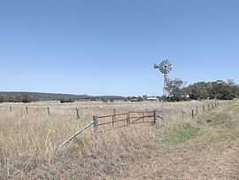
Fields and windmill along Biddeston Linthorpe Road, 2014 | |||||||||||||
 Linthorpe | |||||||||||||
| Coordinates | 27°36′S 151°39′E / 27.600°S 151.650°ECoordinates: 27°36′S 151°39′E / 27.600°S 151.650°E | ||||||||||||
| Population | 257 (2011)[1] | ||||||||||||
| Postcode(s) | 4356 | ||||||||||||
| LGA(s) | Toowoomba Region | ||||||||||||
| State electorate(s) | Condamine | ||||||||||||
| |||||||||||||
Linthorpe is a locality in the Toowoomba Region of the Darling Downs in southern Queensland, Australia. At the 2011 Australian Census Linthorpe and surrounds recorded a population of 257.[1]
Mount Haystack, Majuba Hill and Dummies Mountain are all located in Linthorpe. The Gore Highway marks the southern boundary of Linthorpe.
References
- ↑ 1.0 1.1 Australian Bureau of Statistics (31 October 2012). "Linthorpe (State Suburb)". 2011 Census QuickStats. Retrieved 27 October 2014.
| ||||||||||||||||||