Linkebeek
| Linkebeek | |||
|---|---|---|---|
| Municipality | |||
| |||
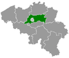
 Linkebeek Location in Belgium | |||
|
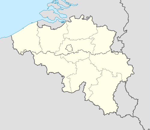
Location of Linkebeek in Flemish Brabant  | |||
| Coordinates: 50°46′N 04°20′E / 50.767°N 4.333°ECoordinates: 50°46′N 04°20′E / 50.767°N 4.333°E | |||
| Country | Belgium | ||
| Community | Flemish Community | ||
| Region | Flemish Region | ||
| Province | Flemish Brabant | ||
| Arrondissement | Halle-Vilvoorde | ||
| Government | |||
| • Mayor | Marc De Neef (LB) | ||
| • Governing party/ies | LB | ||
| Area | |||
| • Total | 4.15 km2 (1.60 sq mi) | ||
| Population (1 January 2013)[1] | |||
| • Total | 4,787 | ||
| • Density | 1,200/km2 (3,000/sq mi) | ||
| Postal codes | 1630 | ||
| Area codes | 02 | ||
| Website | www.linkebeek.be | ||


Linkebeek (Dutch pronunciation: [ˈlɪŋkəbeːk]) is a Belgian municipality in Flanders, part of the province of Flemish Brabant, and in the administrative district of Halle-Vilvoorde. The municipality only comprises the town of Linkebeek proper. As of January 1, 2006, Linkebeek has a total population of 4,759. The total area is 4.15 km² which gives a population density of 1,147 inhabitants per km².
The official language is Dutch with French facilities. In 1954, special linguistic rights were given to Francophones (according to the 1947 census, they constituted nearly 40% of the population). Now, Francophones make up the majority of the population. Francophones can request official documents from the local administration in French. There are also primary and nursery schools teaching in French.
The mayor since 2000 is Damien Thiéry of the Union des Francophones (UF). In 2006, he was re-elected with 86% of the vote.
Twin towns
Famous inhabitants
- Herman Teirlinck, writer (1879-1967)
References
- ↑ Population per municipality on 1 January 2013 (XLS; 607.5 KB)
- ↑ 2.0 2.1 (French)"Le comité de Jumelage". saintlambertdulattay.fr. Retrieved November 12, 2011.
- ↑ 3.0 3.1 (French)"Jumelage". linkebeek.info. Retrieved November 12, 2011.
External links
-
 Media related to Linkebeek at Wikimedia Commons
 - Official website - Information available in Dutch and French
 |
Drogenbos | Uccle (BRU) | | |
| Beersel | |
Sint-Genesius-Rode | ||
| ||||
| | ||||
| Beersel |