Lengenfeld
For the town in Lower Austria, see Lengenfeld, Austria.
| Lengenfeld | ||
|---|---|---|
| ||
 Lengenfeld | ||
Location of Lengenfeld within Vogtlandkreis district 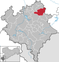
 | ||
| Coordinates: 50°34′N 12°22′E / 50.567°N 12.367°ECoordinates: 50°34′N 12°22′E / 50.567°N 12.367°E | ||
| Country | Germany | |
| State | Saxony | |
| District | Vogtlandkreis | |
| Government | ||
| • Mayor | Volker Bachmann | |
| Area | ||
| • Total | 47.16 km2 (18.21 sq mi) | |
| Population (2013-12-31)[1] | ||
| • Total | 7,325 | |
| • Density | 160/km2 (400/sq mi) | |
| Time zone | CET/CEST (UTC+1/+2) | |
| Postal codes | 08485 | |
| Dialling codes | 037606 | |
| Vehicle registration | V | |
| Website | www.stadt-lengenfeld.de | |

Lengenfeld is a town in the Vogtlandkreis district, in the Free State of Saxony, Germany. During World War II, a subcamp of Flossenbürg concentration camp was located here.[2] The town is situated 19 km southwest of Zwickau, and 18 km northeast of Plauen.
References
- ↑ "Statistisches Landesamt des Freistaates Sachsen – Bevölkerung des Freistaates Sachsen jeweils am Monatsende ausgewählter Berichtsmonate nach Gemeinden" (PDF). Statistisches Landesamt des Freistaates Sachsen (in German). 6 September 2014.
- ↑ Christine O'Keefe. Concentration Camps