Le Bouscat
| Le Bouscat | ||
|---|---|---|
|
Town hall | ||
| ||
 Le Bouscat | ||
|
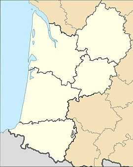
Location within Aquitaine region  Le Bouscat | ||
| Coordinates: 44°51′54″N 0°35′59″W / 44.8651°N 0.5996°WCoordinates: 44°51′54″N 0°35′59″W / 44.8651°N 0.5996°W | ||
| Country | France | |
| Region | Aquitaine | |
| Department | Gironde | |
| Arrondissement | Bordeaux | |
| Canton | Bouscat | |
| Intercommunality | Bordeaux | |
| Government | ||
| • Mayor (2008–2014) | Patrick Bobet | |
| Area1 | 5.28 km2 (2.04 sq mi) | |
| Population (2008)2 | 23,193 | |
| • Density | 4,400/km2 (11,000/sq mi) | |
| INSEE/Postal code | 33069 / 33110 | |
| Elevation |
2–27 m (6.6–88.6 ft) (avg. 10 m or 33 ft) | |
|
1 French Land Register data, which excludes lakes, ponds, glaciers > 1 km² (0.386 sq mi or 247 acres) and river estuaries. 2 Population without double counting: residents of multiple communes (e.g., students and military personnel) only counted once. | ||
Le Bouscat is a commune in the Gironde department in Aquitaine in southwestern France.
It is a suburb of the city of Bordeaux and is adjacent to it on the north side.
Population
| Historical population | ||
|---|---|---|
| Year | Pop. | ±% |
| 1793 | 1,650 | — |
| 1800 | 1,404 | −14.9% |
| 1806 | 1,577 | +12.3% |
| 1821 | 1,629 | +3.3% |
| 1831 | 1,729 | +6.1% |
| 1836 | 1,758 | +1.7% |
| 1841 | 1,988 | +13.1% |
| 1846 | 2,314 | +16.4% |
| 1851 | 2,338 | +1.0% |
| 1856 | 2,803 | +19.9% |
| 1861 | 3,565 | +27.2% |
| 1866 | 2,907 | −18.5% |
| 1872 | 3,455 | +18.9% |
| 1876 | 4,182 | +21.0% |
| 1881 | 4,534 | +8.4% |
| 1886 | 6,463 | +42.5% |
| 1891 | 8,223 | +27.2% |
| 1896 | 9,315 | +13.3% |
| 1901 | 10,446 | +12.1% |
| 1906 | 11,092 | +6.2% |
| 1911 | 11,347 | +2.3% |
| 1921 | 13,085 | +15.3% |
| 1926 | 14,572 | +11.4% |
| 1931 | 16,128 | +10.7% |
| 1936 | 17,653 | +9.5% |
| 1946 | 18,901 | +7.1% |
| 1954 | 19,558 | +3.5% |
| 1962 | 21,404 | +9.4% |
| 1968 | 22,550 | +5.4% |
| 1975 | 21,126 | −6.3% |
| 1982 | 20,906 | −1.0% |
| 1990 | 21,538 | +3.0% |
| 1999 | 22,455 | +4.3% |
| 2008 | 23,193 | +3.3% |
See also
References
External links
| Wikimedia Commons has media related to Le Bouscat. |
- Official website (in French)
| ||||||

.svg.png)
