Lamb Creek, Idaho
| Lamb Creek, Idaho | |
|---|---|
| Unincorporated community | |
 Lamb Creek, Idaho | |
| Coordinates: 48°30′59″N 116°55′39″W / 48.51639°N 116.92750°WCoordinates: 48°30′59″N 116°55′39″W / 48.51639°N 116.92750°W | |
| Country | United States |
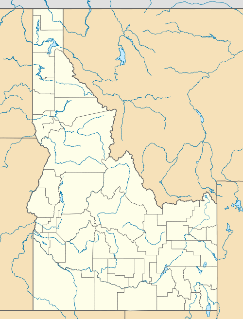
| State | Idaho |
| County | Bonner |
| Elevation | 2,556 ft (779 m) |
| Time zone | Pacific (PST) (UTC-8) |
| • Summer (DST) | PDT (UTC-7) |
| Area code(s) | 208 |
| GNIS feature ID | 396762[1] |
Lamb Creek is an unincorporated community in Bonner County, Idaho, United States. Lamb Creek is located on Idaho State Highway 57 23.2 miles (37.3 km) north of Priest River.
References
| |||||||||||||||||||||