Laaxer Stöckli
| Laaxer Stöckli | |
|---|---|
| Piz Grisch | |
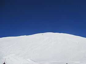 The summit seen from La Siala | |
| Elevation | 2,898 m (9,508 ft) |
| Prominence | 271 m (889 ft)[1] |
| Parent peak | Piz Segnas |
| Location | |
 Laaxer Stöckli Location in Switzerland | |
| Location | Glarus/Graubünden, Switzerland |
| Range | Glarus Alps |
| Coordinates | 46°52′59″N 9°12′15″E / 46.88306°N 9.20417°ECoordinates: 46°52′59″N 9°12′15″E / 46.88306°N 9.20417°E |
The Laaxer Stöckli (also known as Piz Grisch) is a 2,898 metre-high mountain of the Glarus Alps, located on the border between the cantons of Glarus and Graubünden in Eastern Switzerland. It lies approximately halfway between the Vorab and Piz Segnas.
The Laaxer Stöckli belongs to the municipalities of Glarus Süd and Laax. The closest localities are Elm and Flims. The south side is part of the Flims-Laax ski area. A chairlift reaches La Siala at a height of 2,806 metres.