La Forêt-sur-Sèvre
| La Forêt-sur-Sèvre | |
|---|---|
 La Forêt-sur-Sèvre | |
|
Location within Poitou-Charentes region 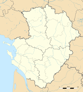 La Forêt-sur-Sèvre | |
| Coordinates: 46°46′15″N 0°38′55″W / 46.7708°N 0.6486°WCoordinates: 46°46′15″N 0°38′55″W / 46.7708°N 0.6486°W | |
| Country | France |
| Region | Poitou-Charentes |
| Department | Deux-Sèvres |
| Arrondissement | Bressuire |
| Canton | Cerizay |
| Intercommunality | Delta-Sèvre-Argent |
| Government | |
| • Mayor (2008–2014) | Bruno Bonnet |
| Area1 | 55.94 km2 (21.60 sq mi) |
| Population (2006)2 | 2,356 |
| • Density | 42/km2 (110/sq mi) |
| INSEE/Postal code | 79123 / 79380 |
| Elevation |
147–227 m (482–745 ft) (avg. 153 m or 502 ft) |
|
1 French Land Register data, which excludes lakes, ponds, glaciers > 1 km² (0.386 sq mi or 247 acres) and river estuaries. 2 Population without double counting: residents of multiple communes (e.g., students and military personnel) only counted once. | |
La Forêt-sur-Sèvre is a commune in the Deux-Sèvres department in the Poitou-Charentes region in western France.
See also
References
| Wikimedia Commons has media related to La Forêt-sur-Sèvre. |