Kuntur Ikiña (Puno)
| Kuntur Ikiña | |
|---|---|
 Kuntur Ikiña Peru | |
| Elevation | 4,800.9 m (15,751 ft)[1] |
| Location | |
| Location | Peru, Puno Region, Puno Province |
| Range | Andes |
| Coordinates | 15°52′27″S 70°18′55″W / 15.87417°S 70.31528°WCoordinates: 15°52′27″S 70°18′55″W / 15.87417°S 70.31528°W[2] |
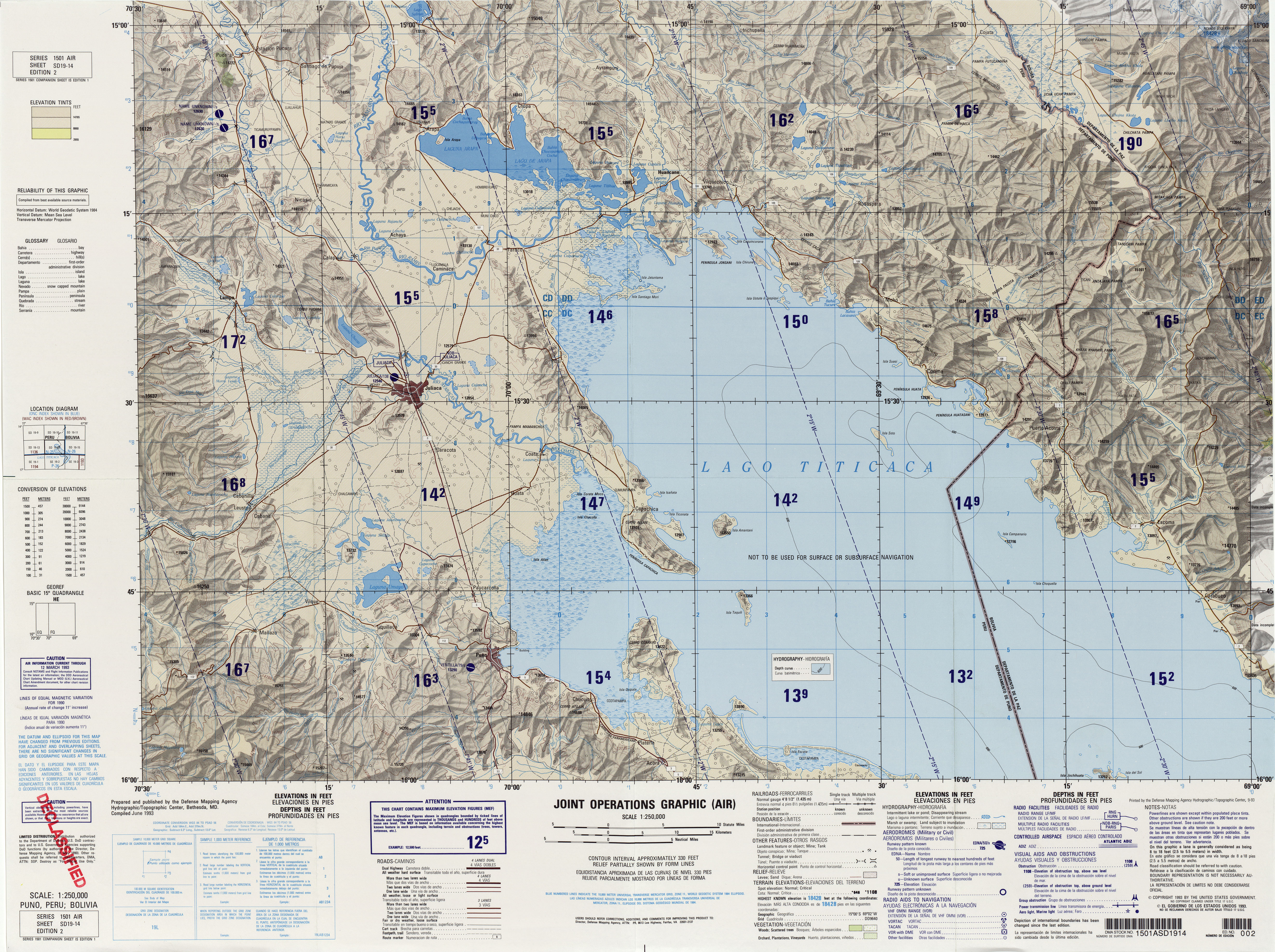
Kuntur Ikiña (Aymara kunturi condor,[3] ikiña to sleep, bed or blanket,[4] hispanicized spelling Condoriquiña) is a mountain in the Andes of Peru, about 4,800.9 metres (15,751 ft) high. It is located in the Puno Region, Puno Province, on the border of the districts Mañazo and Tiquillaca.[5]
References
- ↑ "South America Maps". Joint Operations Graphic. Retrieved July 5, 2014.
- ↑ "Nevados". IGN, Peru. Retrieved July 5, 2014.
- ↑ Yatiqirinaka Aru Pirwa, Lima, 2005 (Aymara-Spanish dictionary)
- ↑ "Diccionario Quechua - Aymara al español". katari.org. Retrieved July 5, 2014.
- ↑ escale.minedu.gob.pe - UGEL map of the Puno Province 1 (Puno Region)