Kuntur Chukuña (Antonio Quijarro)
| Kuntur Chukuña | |
|---|---|
 Kuntur Chukuña Location in Bolivia | |
| Elevation | 5,290 m (17,360 ft)[1] |
| Location | |
| Location |
Bolivia, Potosí Department, Antonio Quijarro Province, Tomave Municipality |
| Range | Andes |
| Coordinates | 19°55′S 66°31′W / 19.917°S 66.517°WCoordinates: 19°55′S 66°31′W / 19.917°S 66.517°W[2] |
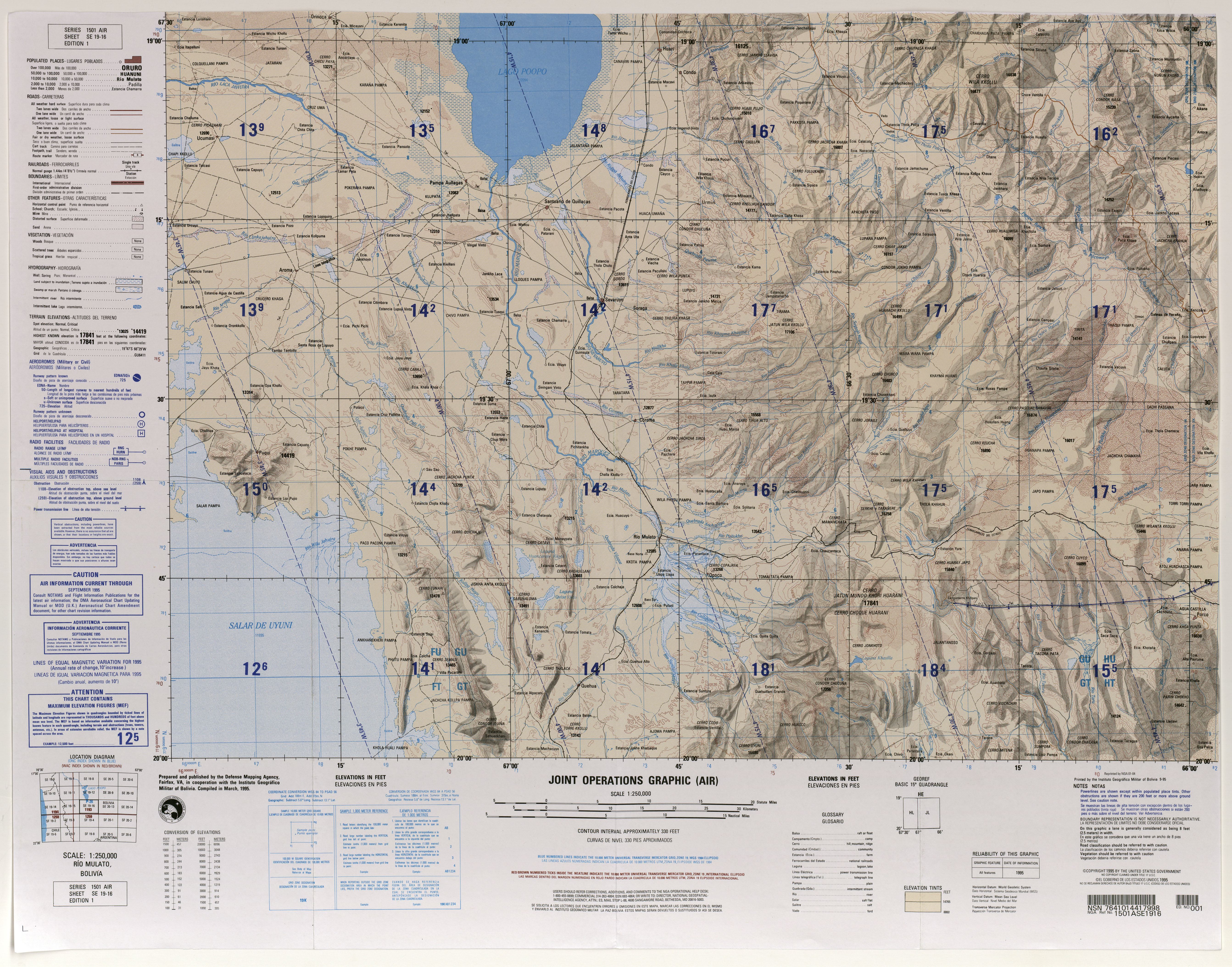
Kuntur Chukuña (Aymara kunturi condor,[3] chukuña to squat, to cower,[4] "squatting condor", hispanicized spellings Condor Chucuna, Condor Chucuña) is a mountain in the Andes of Bolivia, about 5,290 metres (17,356 ft) high. It is situated in the Potosí Department, Antonio Quijarro Province, Tomave Municipality,[5] between the Uyuni salt flat in the west and the town Porco in the east and south west of the Nuevo Mundo volcano (Jatun Mundo Quri Warani).
See also
References
- ↑ lib.utexas.edu Map (17,356 ft)
- ↑ getamap.net "Cerro Condor Chucuña"
- ↑ Yatiqirinaka Aru Pirwa, Lima, 2005 (Aymara-Spanish dictionary): Kunturi - Cóndor
- ↑ Juan Carvajal Carvajal, Arturo Hernández Sallés, Nelly Ramos Pizarro, Diccionario Ilustrado Aymara-Español-Inglés (Aymara-Spanish-English dictionary): acuclillarse: chukuña
- ↑ Tomave Municipality: population data and map