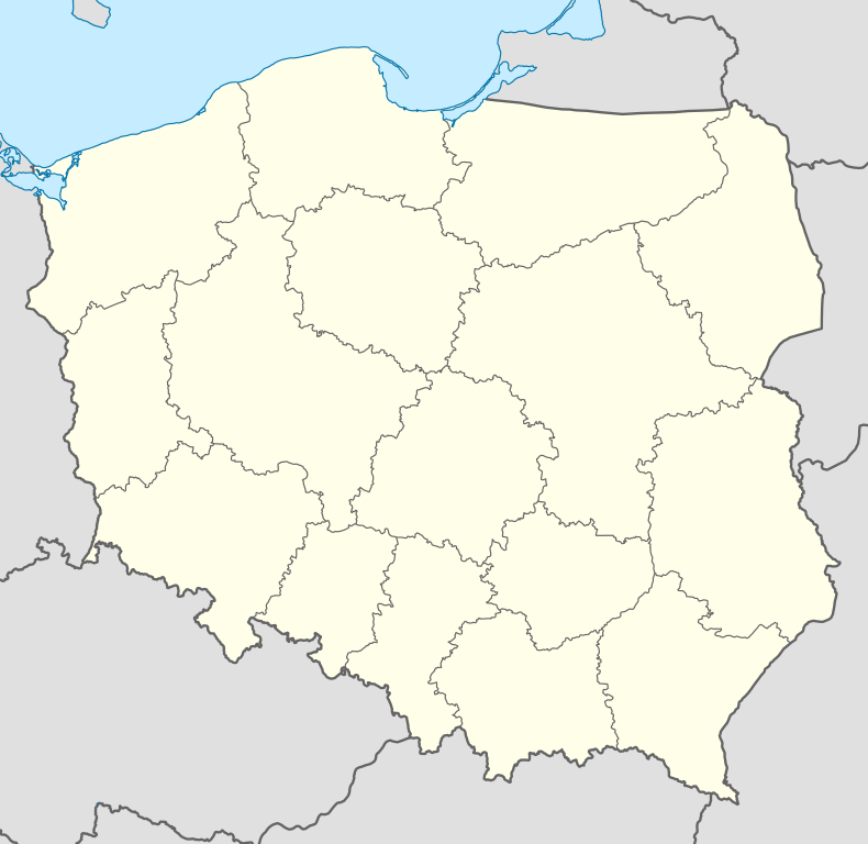
Krzywopłoty, West Pomeranian Voivodeship
See also: Krzywopłoty, Lesser Poland Voivodeship
| Krzywopłoty | |
|---|---|
| Village | |
 Krzywopłoty | |
| Coordinates: 54°3′27″N 15°55′52″E / 54.05750°N 15.93111°E | |
| Country |
|
| Voivodeship | West Pomeranian |
| County | Białogard |
| Gmina | Karlino |
Krzywopłoty [kʂɨvɔˈpwɔtɨ] is a village in the administrative district of Gmina Karlino, within Białogard County, West Pomeranian Voivodeship, in north-western Poland.[1] It lies approximately 4 kilometres (2 mi) north-east of Karlino, 8 km (5 mi) north-west of Białogard, and 114 km (71 mi) north-east of the regional capital Szczecin.
Before 1945 the area was part of Germany. For the history of the region, see History of Pomerania.
References
| ||||||||||||
Coordinates: 54°03′27.31″N 15°55′52.68″E / 54.0575861°N 15.9313000°E
