Krndija
| Krndija | |
|---|---|
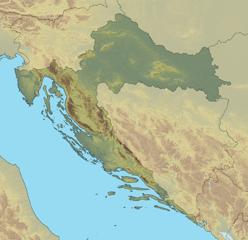 Krndija Location of Krndija in Croatia | |
| Elevation | 263 m (863 ft)[1] |
| Location | |
| Location | Croatia |
| Coordinates | 45°27′N 17°55′E / 45.450°N 17.917°ECoordinates: 45°27′N 17°55′E / 45.450°N 17.917°E |
Krndija is a mountain in Slavonia, Croatia, extending eastwards from Papuk. It is located south of Orahovica and Našice and north of Požega.
The westernmost point of Krndija is the mountain pass that connects Orahovica with Kutjevo; the easternmost point is hard to determine, as it gradually passes into the lowland area near Đakovo and further east near Vinkovci.
The highest peak Kapovac is located in the western part of Krndija, at 792 metres (2,598 ft).[1] The peak of the central part of Krndija is at 263 meters of altitude.
References
- ↑ 1.0 1.1 "Geographical and meteorological data" (PDF). Statistical Yearbook. Croatian Bureau of Statistics. 2009. Retrieved 2011-06-01.